Tours & travels · Garhwal
Char Dham Yatra
Yamunotri, Gangotri, Kedarnath and Badrinath — the great Himalayan pilgrimage of Uttarakhand, planned by people from the mountains.
- Duration
- 10–12 days from Haridwar / Rishikesh
- Season
- Late April / May – October / November
- Best months
- May – June, mid-Sept – Oct
- Walking
- ~6 km to Yamunotri, ~16 km to Kedarnath
The pilgrimage
The Char Dham Yatra — sometimes called the Chota Char Dham — visits four shrines high in the Garhwal Himalaya. Yamunotri and Gangotri sit at the sources of the Yamuna and the Ganga; Kedarnath is one of Shiva’s twelve Jyotirlingas; Badrinath is the abode of Vishnu. Pilgrims traditionally travel west to east, from Yamunotri to Badrinath. The temples are open for only about six months a year: the doors open around Akshaya Tritiya in April or May and close around Diwali and Bhai Dooj in October or November, when each deity moves to its winter seat lower down.
For us this yatra is close to home. Badrinath stands in Chamoli, the same district as Kanol, and the final road up the Alaknanda valley — through Karnaprayag, Nandprayag, Chamoli and Joshimath — is one our drivers know well. A full circuit takes around 10–12 days from Haridwar or Rishikesh, combining long mountain drives with two real walks, to Yamunotri and Kedarnath. We help coordinate vehicles, stays, timings and buffer days, and can add a few quiet days in Kanol on the way back.
The four dhams
In the traditional order, west to east.
01 · Uttarkashi
Yamunotri
- Deity
- Goddess Yamuna
- Altitude
- 3,293 m
- River
- Source of the Yamuna
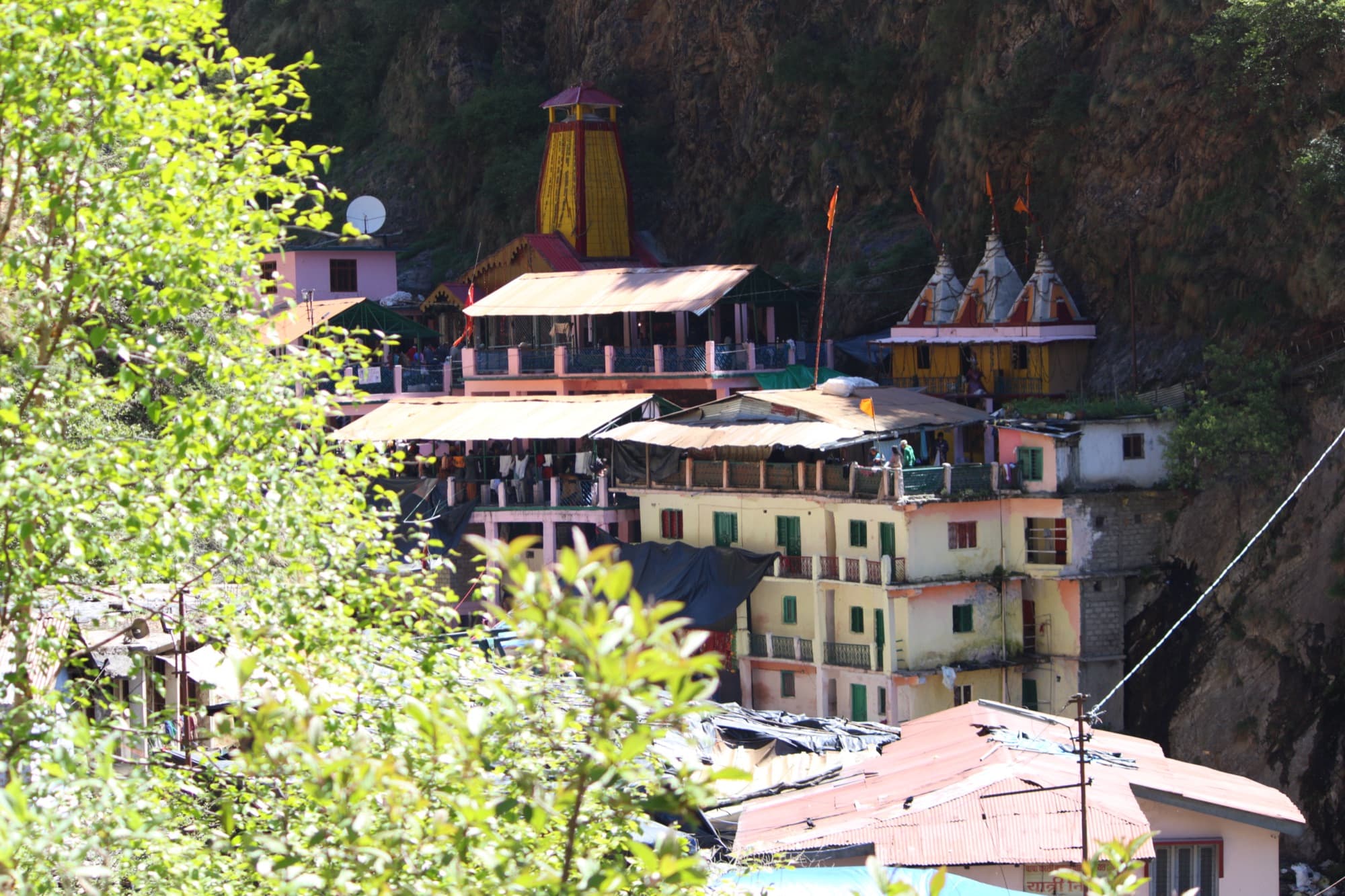
Road to Janki Chatti via Barkot, then a ~6 km walk. Ponies and palkis available.
Beside the temple, pilgrims cook rice in the Surya Kund hot spring as prasad.
02 · Uttarkashi
Gangotri
- Deity
- Goddess Ganga
- Altitude
- ~3,100 m
- River
- The Bhagirathi, source stream of the Ganga
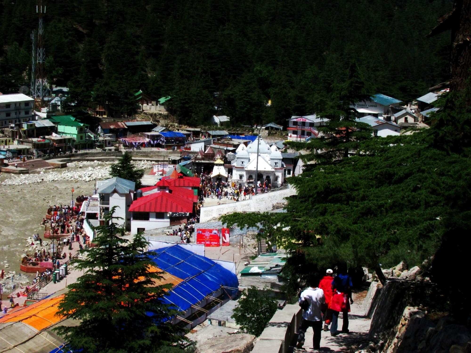
Drivable right to the temple, via Uttarkashi and Harsil.
Bhagirath Shila marks where King Bhagirath is said to have meditated. Gaumukh glacier lies about 18 km beyond.
03 · Rudraprayag
Kedarnath
- Deity
- Lord Shiva (Jyotirlinga)
- Altitude
- 3,583 m
- River
- The Mandakini
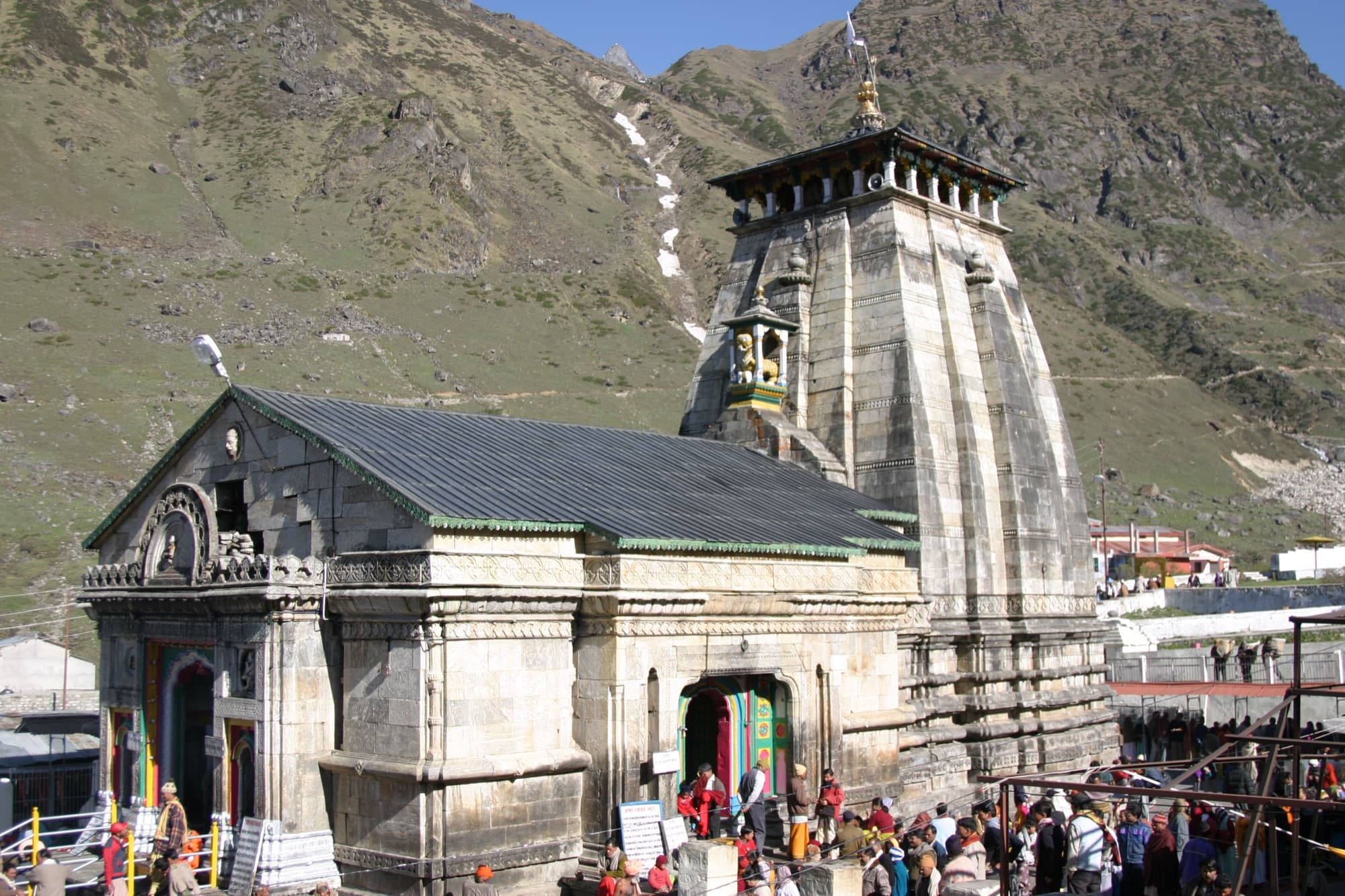
Road to Sonprayag, shuttle to Gaurikund, then a ~16 km walk. Ponies, palkis, or helicopter from Guptkashi, Phata or Sersi.
The most demanding of the four — and the stone temple that survived the 2013 floods.
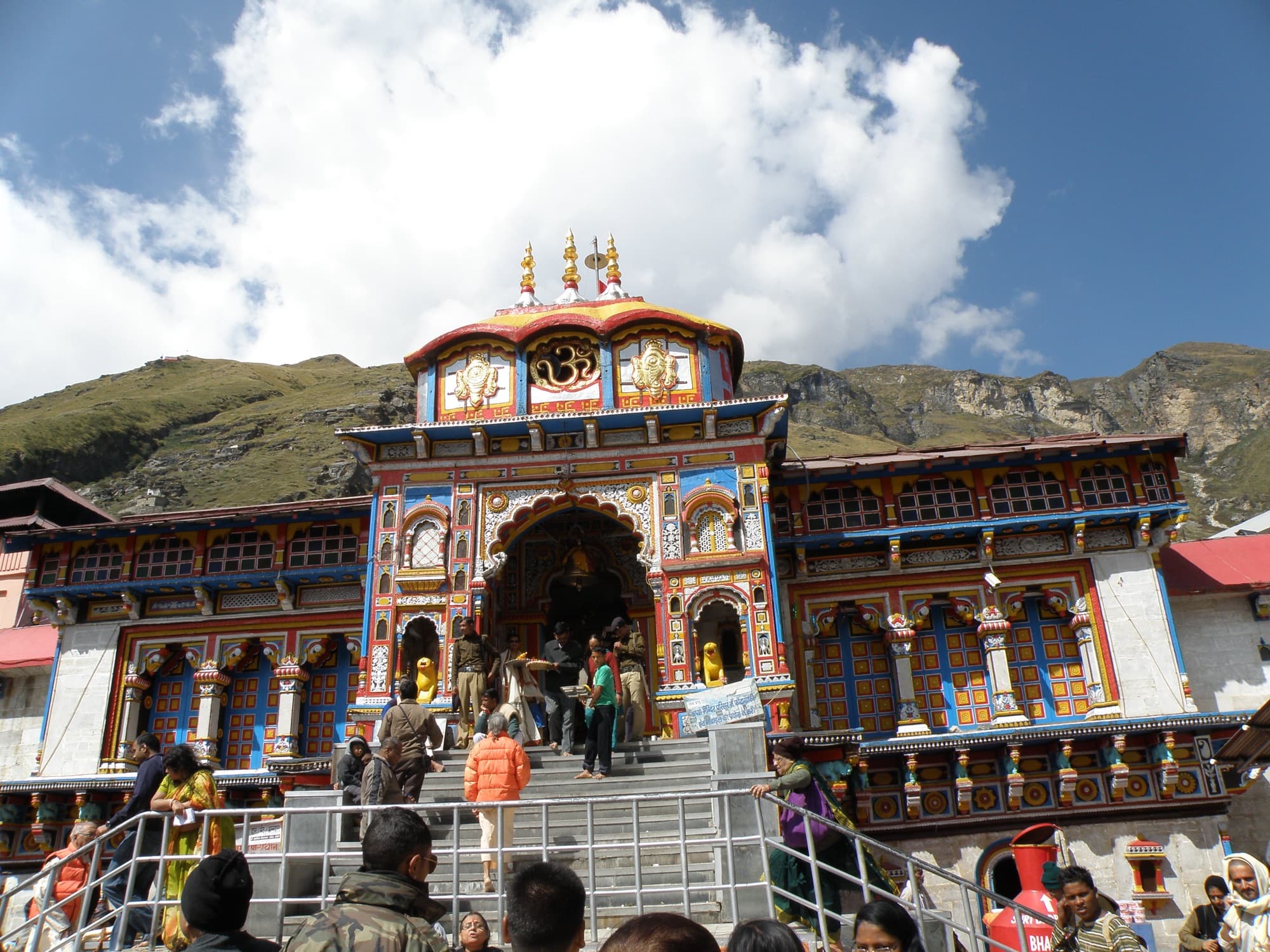
04 · Chamoli — our home district
Badrinath
- Deity
- Lord Vishnu (Badrinarayan)
- Altitude
- 3,133 m
- River
- The Alaknanda
Drivable to the town via Rishikesh, Rudraprayag, Karnaprayag, Chamoli and Joshimath.
Tapt Kund hot springs below the temple; Mana village and Vasudhara falls close by.
A typical 11-day yatra
From Haridwar, in the traditional order. We adjust stops, pace and stays to your group — and always keep a buffer day.
- Day 1
Haridwar to Barkot
Into the hills via Dehradun and Mussoorie. About 7–8 hours.
- Day 2
Yamunotri
Drive to Janki Chatti and walk ~6 km to the temple and Surya Kund; back to Barkot.
- Day 3
Barkot to Uttarkashi
A shorter drive; the Kashi Vishwanath temple in the evening.
- Day 4
Gangotri
Up the Bhagirathi valley via Harsil for darshan, then back to Uttarkashi.
- Day 5
Uttarkashi to Guptkashi
The longest road day, across to the Mandakini valley.
- Day 6
Kedarnath
Sonprayag to Gaurikund, then the ~16 km walk (or a helicopter). Evening aarti and a night at Kedarnath.
- Day 7
Down to Guptkashi
Early darshan, then the walk back down to Gaurikund and the drive to Guptkashi.
- Day 8
Guptkashi to Badrinath
Into Chamoli via Chopta or Rudraprayag and up the Alaknanda to Badrinath. Evening darshan.
- Day 9
Badrinath and Mana
Tapt Kund and morning darshan, Mana village, then down the valley — or to Kanol for a few quiet days.
- Day 10
Back to Rishikesh / Haridwar
Via Devprayag, where the Bhagirathi and Alaknanda meet to form the Ganga.
- Day 11
Buffer day
Strongly recommended — landslides and weather can hold up mountain roads.
Shorter and slower options
Do Dham — Kedarnath & Badrinath
The most popular shorter yatra, 5–6 days from Haridwar. Badrinath is in our home district.
Yamunotri & Gangotri
The two western shrines in 5–6 days from Haridwar or Dehradun.
Char Dham + Kanol
Finish the yatra with a few slow days in a Chamoli village — a quiet counterpoint to the crowds.
Registration
- Registration with the Uttarakhand Tourism Development Board is mandatory for every pilgrim — online at registrationandtouristcare.uk.gov.in, through the Tourist Care Uttarakhand app, or at counters in Haridwar, Rishikesh and elsewhere. It uses Aadhaar-based verification.
- Kedarnath helicopter tickets are sold only through the official IRCTC HeliYatra portal (heliyatra.irctc.co.in), and only after yatra registration. Beware of fake booking websites.
- Opening and closing dates are announced each year by the temple committees — we confirm them when planning your dates.
Before you go
- All four shrines are above 3,000 m. Go slowly, drink plenty of water, and descend if altitude symptoms worsen — Kedarnath carries the most risk.
- The Kedarnath walk is long and steep (~16 km). A few weeks of walking or stair practice beforehand makes a real difference; get a medical check if you have heart or lung conditions.
- Ponies, palkis and kandis are available at Janki Chatti and Gaurikund at government-fixed rates — use the registered prepaid counters.
- It is cold even in June, with rain possible any time and snow in April–May and late October. Pack warm layers, a rain jacket and good shoes.
- From July to mid-September the monsoon brings frequent landslides and road closures. Build in buffer days and travel insurance.
- Hill roads average 25–35 km/h. We start early and avoid driving after dark.
Sources
Photo credits
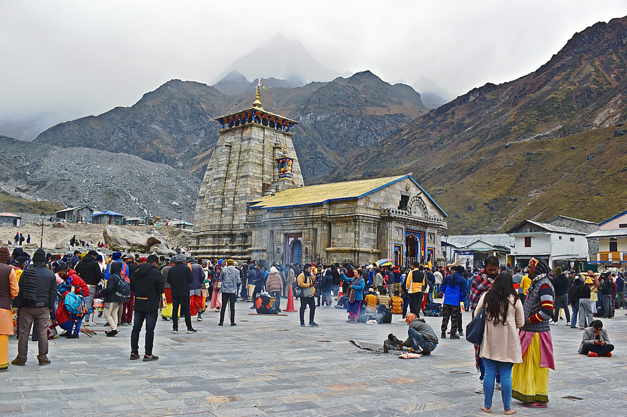
- Pilgrims in the courtyard before Kedarnath temple, with low cloud on the mountains — Rohit Sharma, CC BY-SA 4.0, via Wikimedia Commons
- Yamunotri temple’s yellow spire against a rock face — AaS, CC BY-SA 4.0, via Wikimedia Commons
- Gangotri town and its white temple beside the Bhagirathi river — Arupamdas, CC BY-SA 4.0, via Wikimedia Commons
- Kedarnath temple’s stone spire with pilgrims at the entrance — Shaq774, Public domain, via Wikimedia Commons
- The brightly painted facade of Badrinath temple under a blue sky — Saugatadas1, CC BY-SA 3.0, via Wikimedia Commons
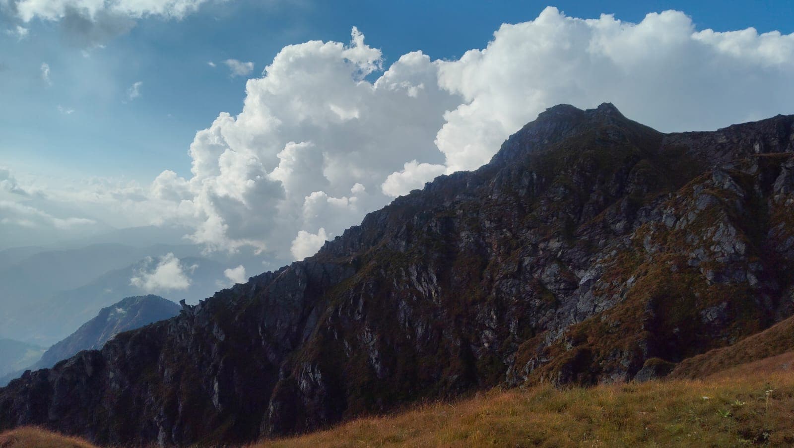
The Himalayas, beyond the usual route.
Tell us where you’d like to go. We’ll help with the rest.