Trek · Ghat area, Chamoli
Saptkund Trek
Seven sacred glacial lakes beneath Nanda Ghunti, reached through the flower meadow of Simbe Bugyal from the villages above Ghat.
- Max altitude
- ~4,600–5,000 m (sources vary)
- Duration
- 8–9 days, Ghat to Ghat
- Distance
- ~53 km round trip
- Difficulty
- Difficult — for experienced trekkers
- Trailhead
- Ghuni or Ramni, above Ghat; exit via Peri or Ghuni
- Best season
- Late May – June, Sept – early Oct
- Getting there
- Rishikesh / Haridwar to Ghat via Nandprayag
- Nearest airport
- Dehradun (Jolly Grant)
About the trek
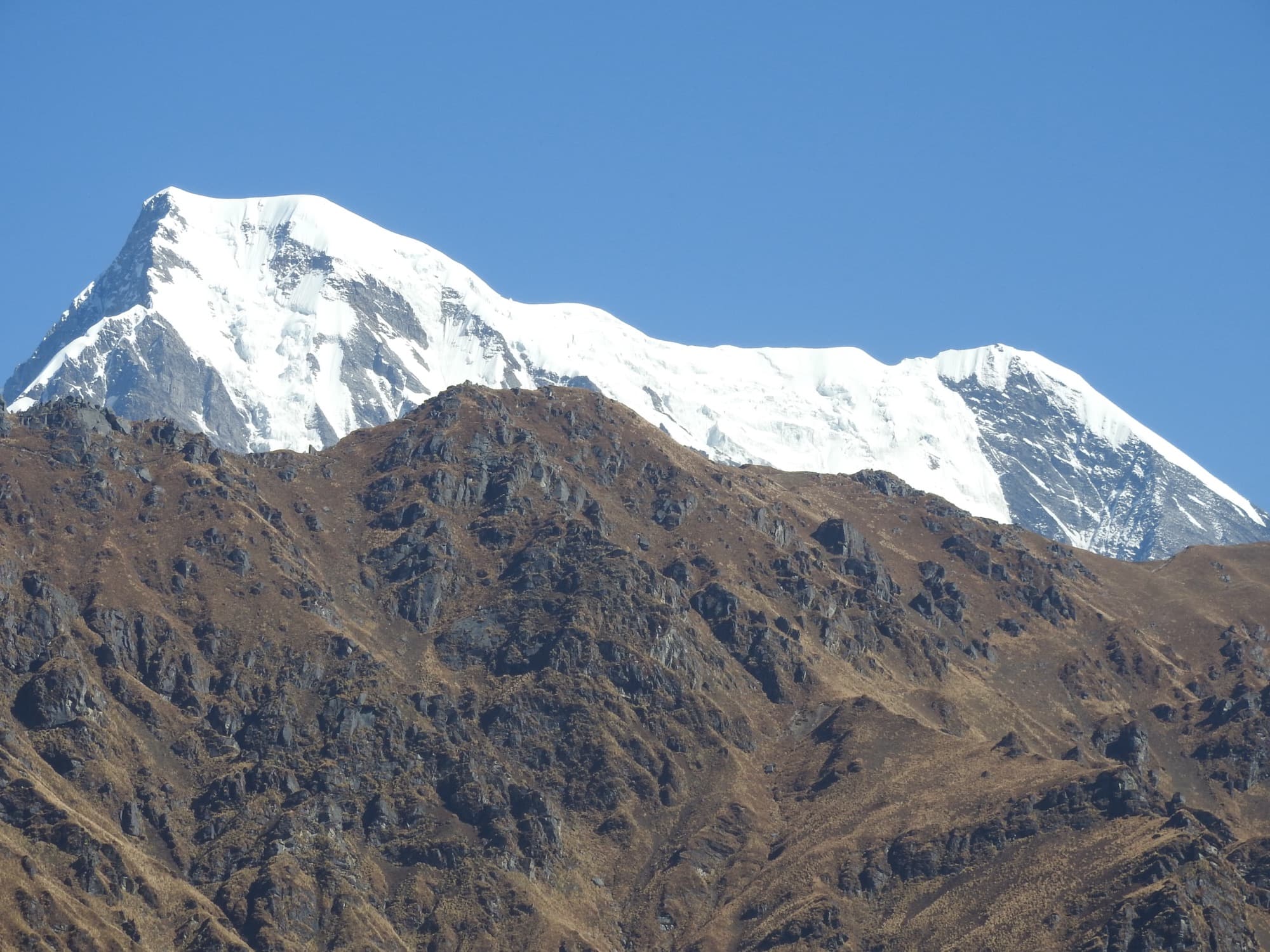
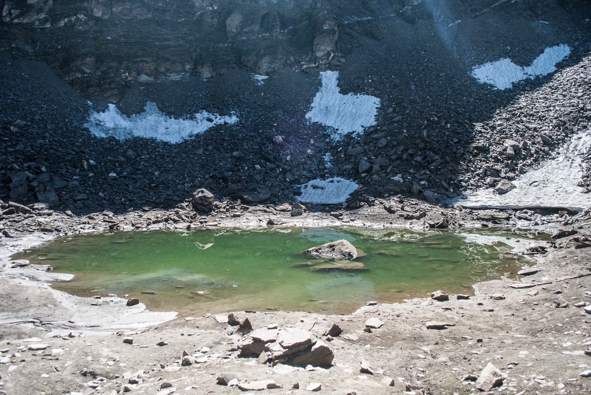
Saptkund — “seven lakes” — is a cluster of glacial tarns at the foot of Nanda Ghunti in the high country above the Ghat valleys, just north-west of Kanol. The lakes are sacred locally, believed to be an abode of Lord Shiva, and villagers from the surrounding settlements make a yearly pilgrimage to them. Nanda Ghunti, “Nanda’s veil”, ties them to the Nanda Devi traditions that run through this whole region.
This is a serious, remote trek: around 53 km over 8–9 days, with no lodges beyond the last village. From Ghuni or Ramni the trail climbs through forest camps at Dhouldhari and Patharkuni to Simbe Bugyal, a huge high meadow that many consider the finest part of the walk. A long day takes you up to the lakes and back. Very few people come here, and the weather near the lakes changes fast — it’s for experienced trekkers who value solitude over comfort.
Highlights
- Seven glacial lakes at the foot of Nanda Ghunti, sacred to Shiva
- Simbe Bugyal, a remote high meadow full of wildflowers
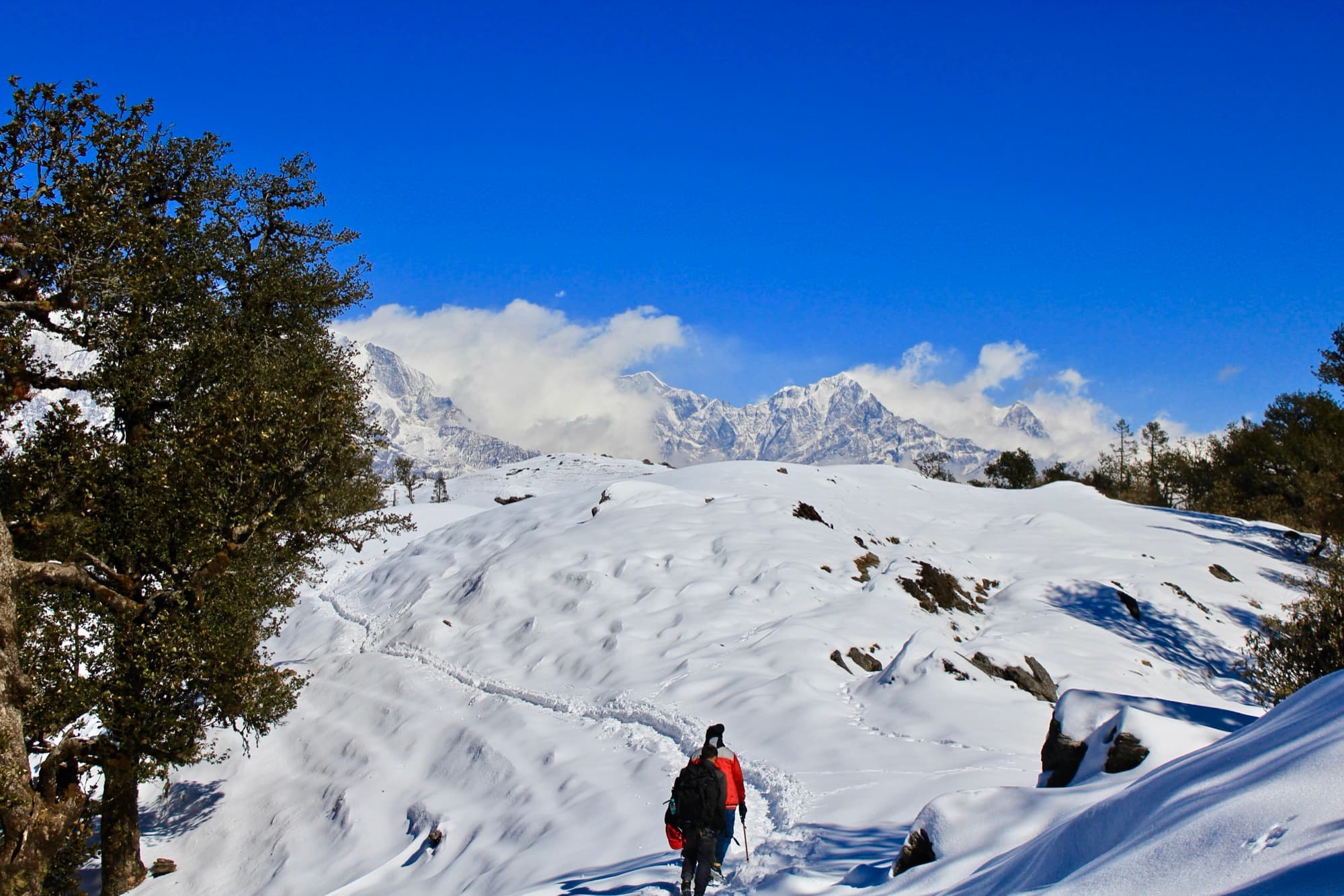
- Views of Trishul and Chaukhamba from Dhouldhari onward
- Traditional villages of the Ghat area on the old Curzon Trail
- A living pilgrimage tradition
- Genuine solitude — very few trekkers
Photos from the route
A typical itinerary
Published details for Saptkund are sparse and inconsistent, so treat this as an outline. From Kanol, the trailhead villages of Ramni and Ghuni are close by along the Curzon Trail — we can plan the approach on foot from our base.
- Day 1
Drive to Ghat and Ghuni
From Rishikesh or Haridwar via Nandprayag. Overnight in the village.
- Day 2
Ghuni to Dhouldhari
A forest climb, with Trishul and Chaukhamba appearing as you gain height.
- Day 3
Dhouldhari to Patharkuni
Higher forest and open slopes towards the meadows.
- Day 4
Patharkuni to Simbe Bugyal
Out onto the great meadow — the camp for the lakes.
- Day 5
Saptkund and back
A long, high day up to the seven lakes beneath Nanda Ghunti and back to camp.
- Day 6
Simbe Bugyal to Patharkuni
Retrace the route down through the meadows.
- Day 7
Down to Peri village
Descend to Peri (or back via Ghuni).
- Day 8
Jeep to Ghat
By road from Peri to Ghat; onward the same day or next.
- Day 9
Drive back
Return to Rishikesh or Haridwar.
When to go
Late May – June
Early summer
Snow melting and access improving; the lakes may still be partly frozen.
Jul – Aug
Monsoon
Simbe Bugyal at its most flowery, but rain, slips and cloud make it hard going. Only for the committed.
Sept – early Oct
Autumn
The best window: settled weather, clear views and ice-free lakes.
Nov – Apr
Winter
Snowbound. Not attempted.
Nanda’s veil
Nanda Ghunti means “Nanda’s veil” — the peak is the veil of the goddess Nanda Devi. On its far side lies Homkund, where the 12-yearly Nanda Devi Raj Jat ends, while Saptkund, on this side, is visited each year by villagers from around Ghat.
Before you go
- Forest permission and local Van Panchayat consent are needed. We arrange both — carry a government photo ID.
- Fully self-supported camping with a local guide and porters; there are no shelters beyond the villages.
- Prior high-altitude experience is strongly recommended. The itinerary allows acclimatisation, and we turn back if conditions or health demand it.
- The lakes are sacred: no washing, soap or litter near the water.
Sources
Photo credits
- Nanda Ghunti, at whose foot the Saptkund lakes lie — Tatocha, CC BY-SA 4.0, via Wikimedia Commons
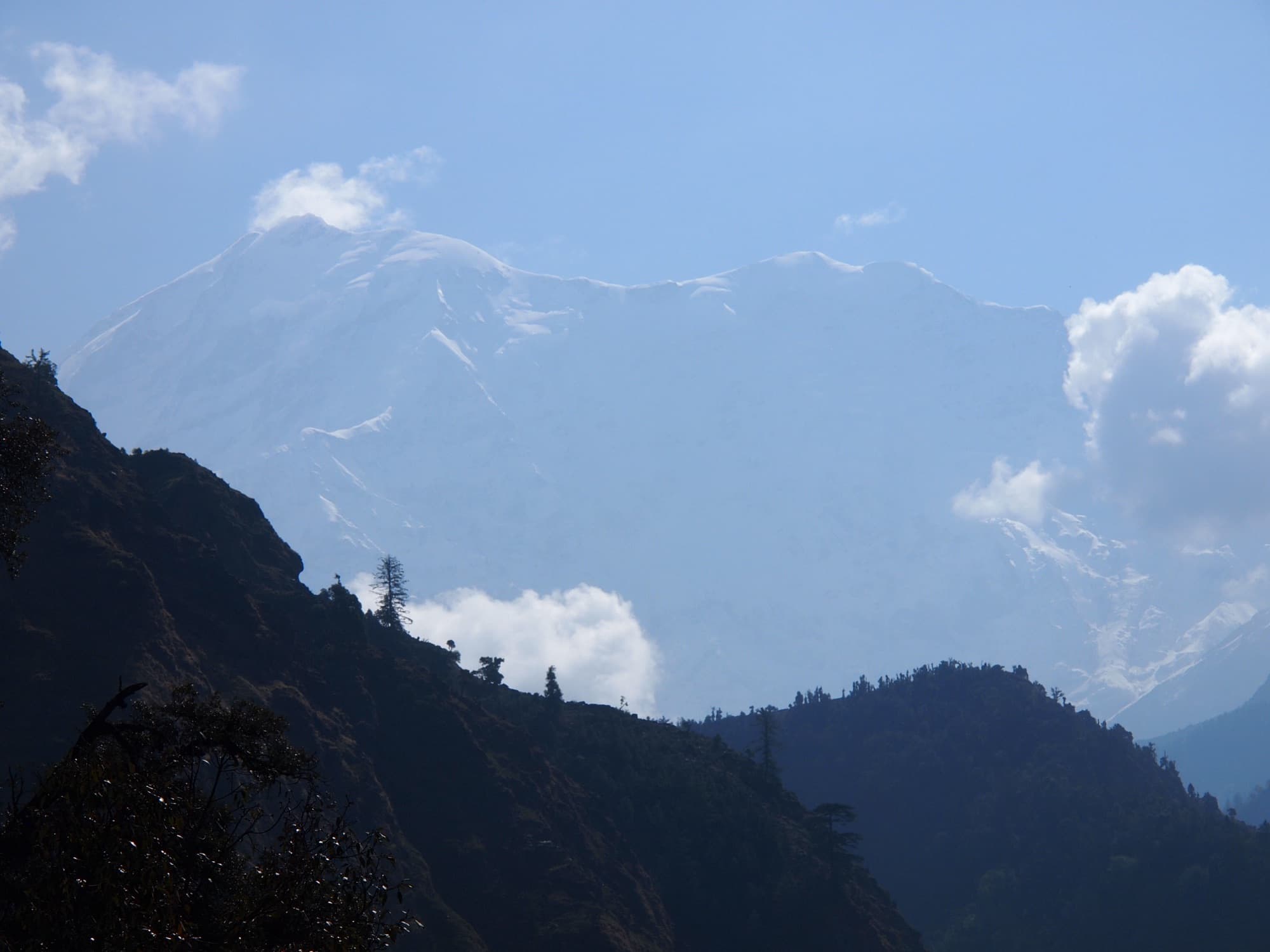
- Trishul from Sutol in the Nandakini valley, a short walk from Kanol — Guidobarindelli, CC BY-SA 4.0, via Wikimedia Commons
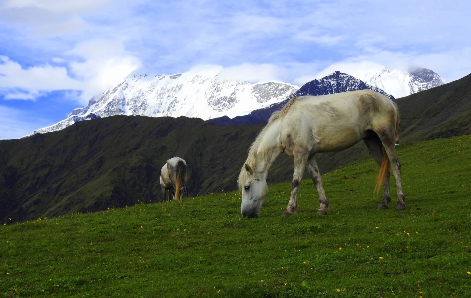
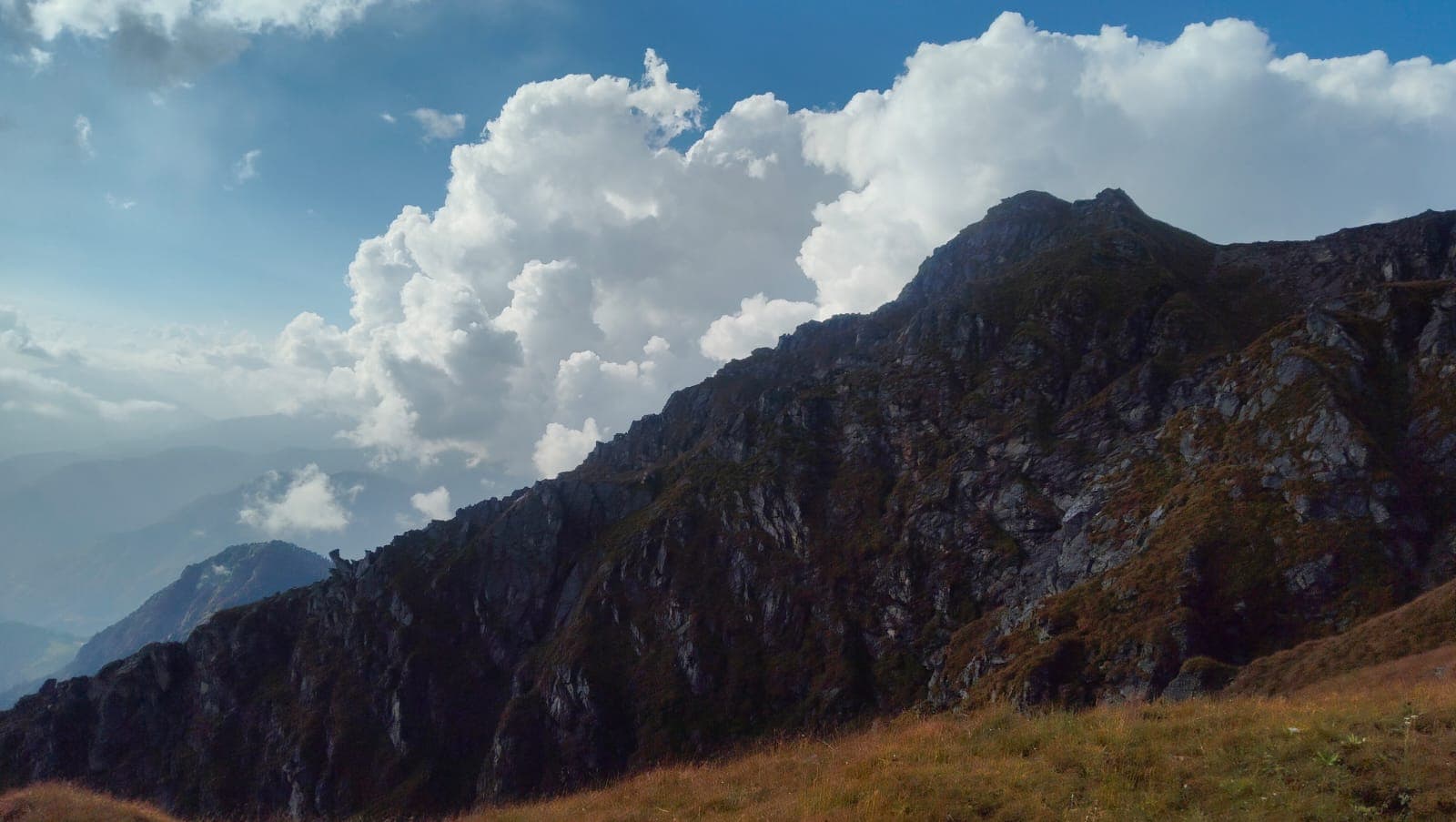
- Trishul rising above the high meadows of the Roopkund region — Palljo, CC BY-SA 4.0, via Wikimedia Commons
The Himalayas, beyond the usual route.
Tell us where you’d like to go. We’ll help with the rest.