Trek · Wan – Kanol ridge, Chamoli
Monal Top Trek
A short, quiet forest-and-meadow trek on the ridge between Wan and Kanol, named for Uttarakhand’s state bird.
- Max altitude
- ~3,650 m / 12,000 ft (Monal Top)
- Duration
- 3–4 trekking days (4–5 days with travel)
- Distance
- ~19 km on foot
- Difficulty
- Easy–moderate
- Trailhead
- Wan village; exit via Kukina Khal to Wan or Kanol
- Best season
- Mar – June, Sept – Nov
- Getting there
- Rishikesh (~270 km) or Kathgodam by road
- Nearest airport
- Dehradun (Jolly Grant) or Pantnagar
About the trek
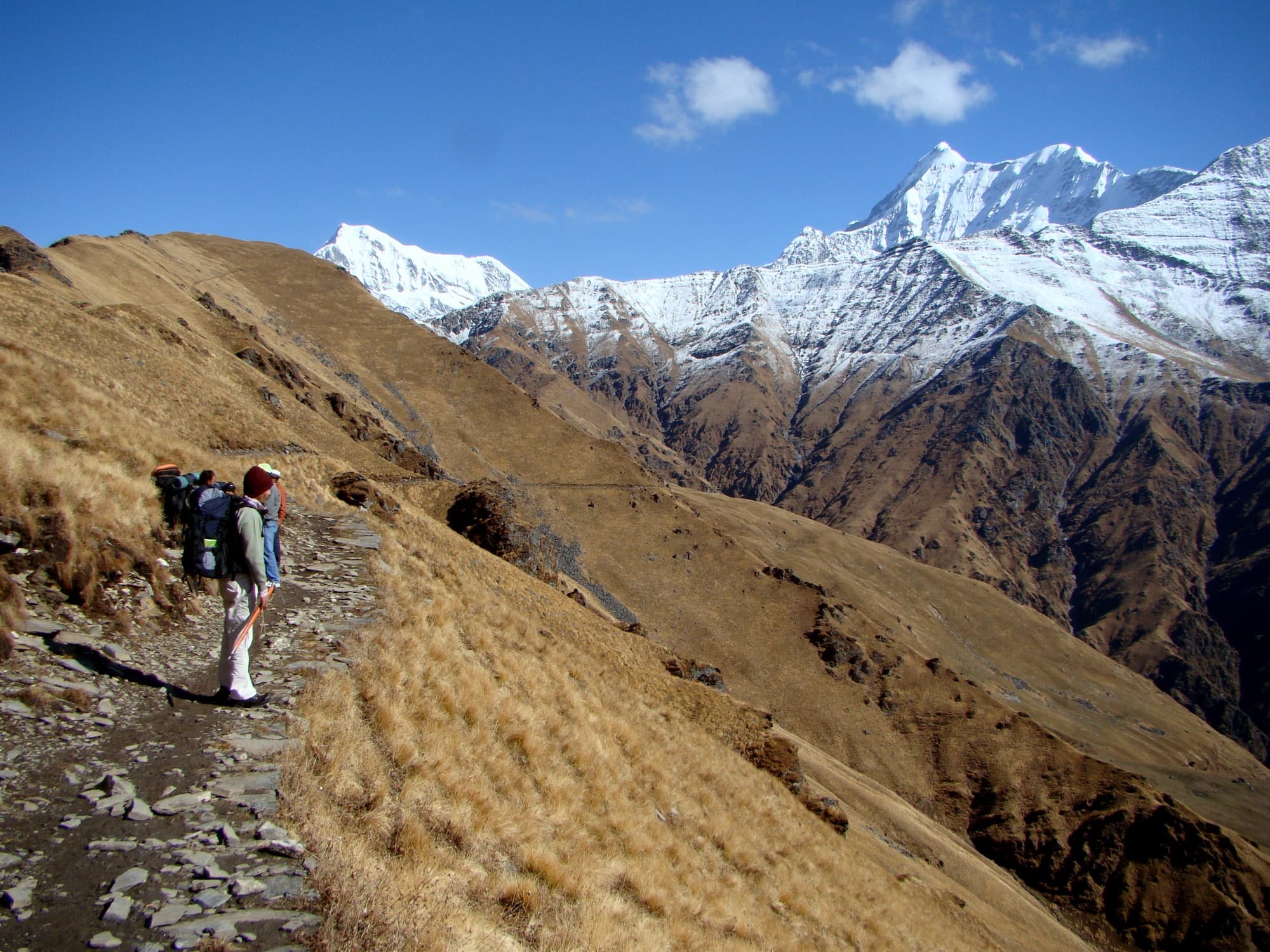
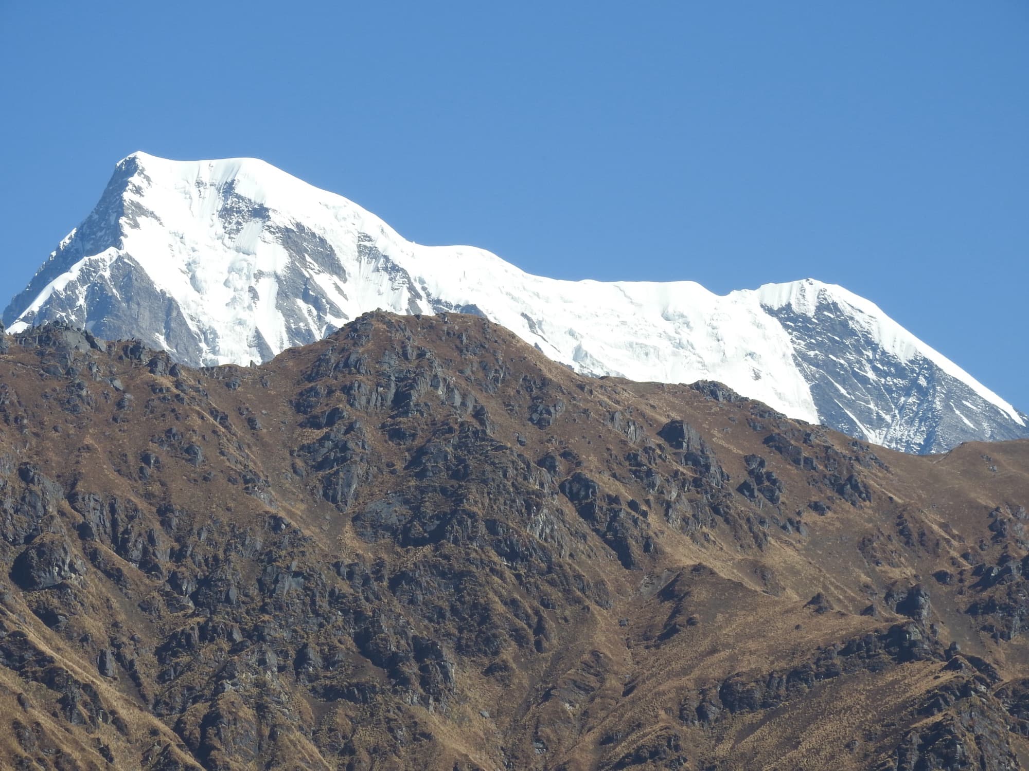
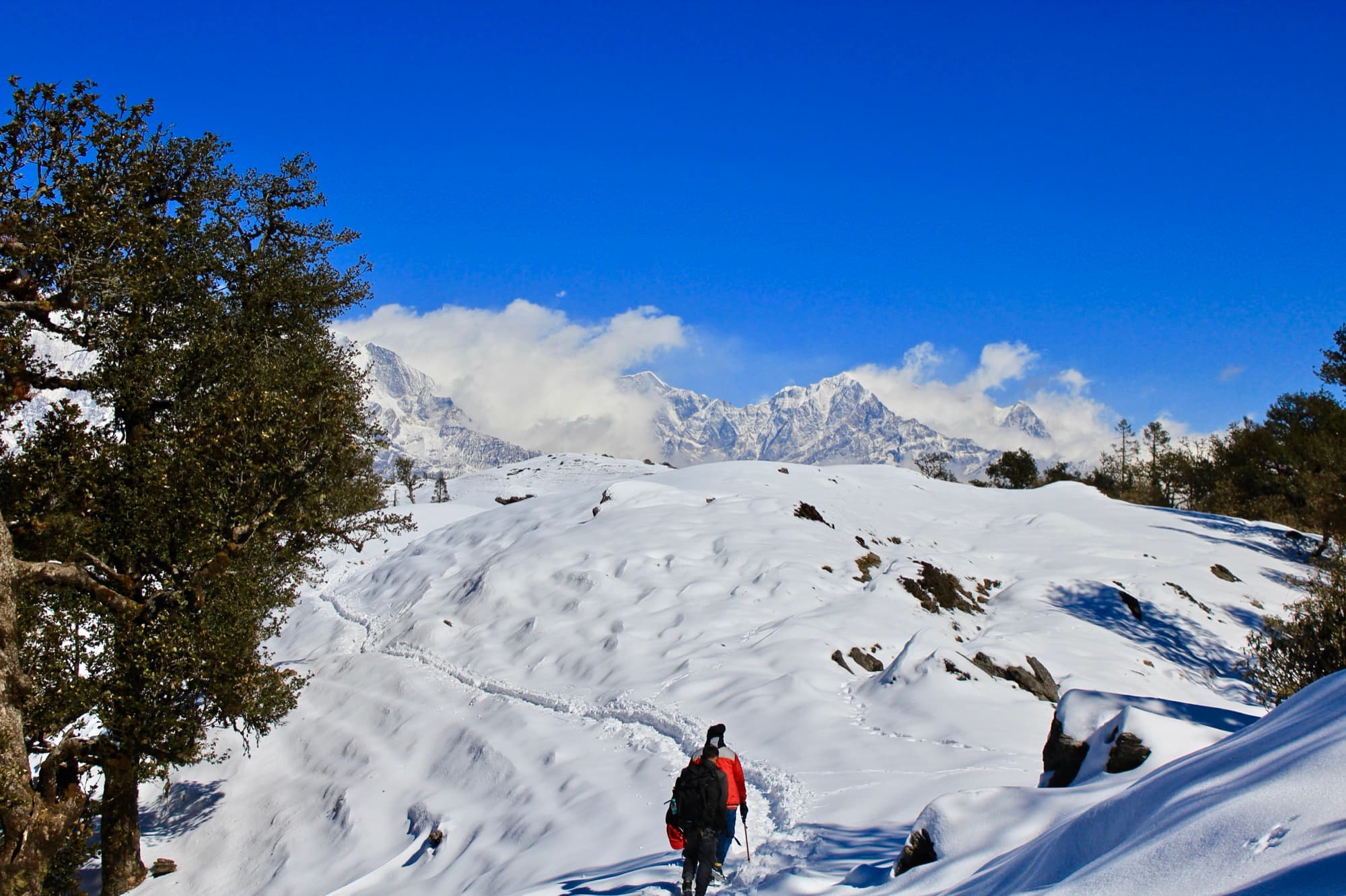
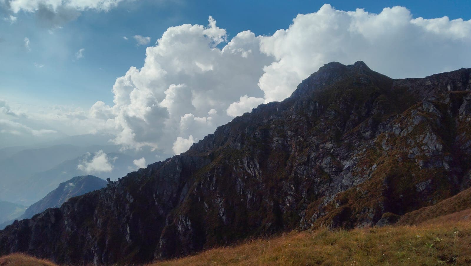
Monal Top is a recently opened trek on the forested ridge that separates Wan from Kanol. It is named after the Himalayan Monal, Uttarakhand’s iridescent state bird, which lives in the oak and rhododendron forest and along the meadow edges here. The trail climbs out of Wan through old forest onto open grassy ridges, to a viewpoint at roughly 12,000 ft with sunrise over Trishul, Nanda Ghunti and, further off, Chaukhamba and the Kedarnath peaks.
The descent runs over Kukina Khal — the saddle between Wan and Kanol that Lord Curzon’s old trail crossed a century ago — with Kanol in view below. It is short, about 19 km in all, and suits beginners and families looking for a quieter alternative to the busy Roopkund circuit. Because it ends on the Kanol side of the ridge, it pairs naturally with a few days in the village.
Highlights
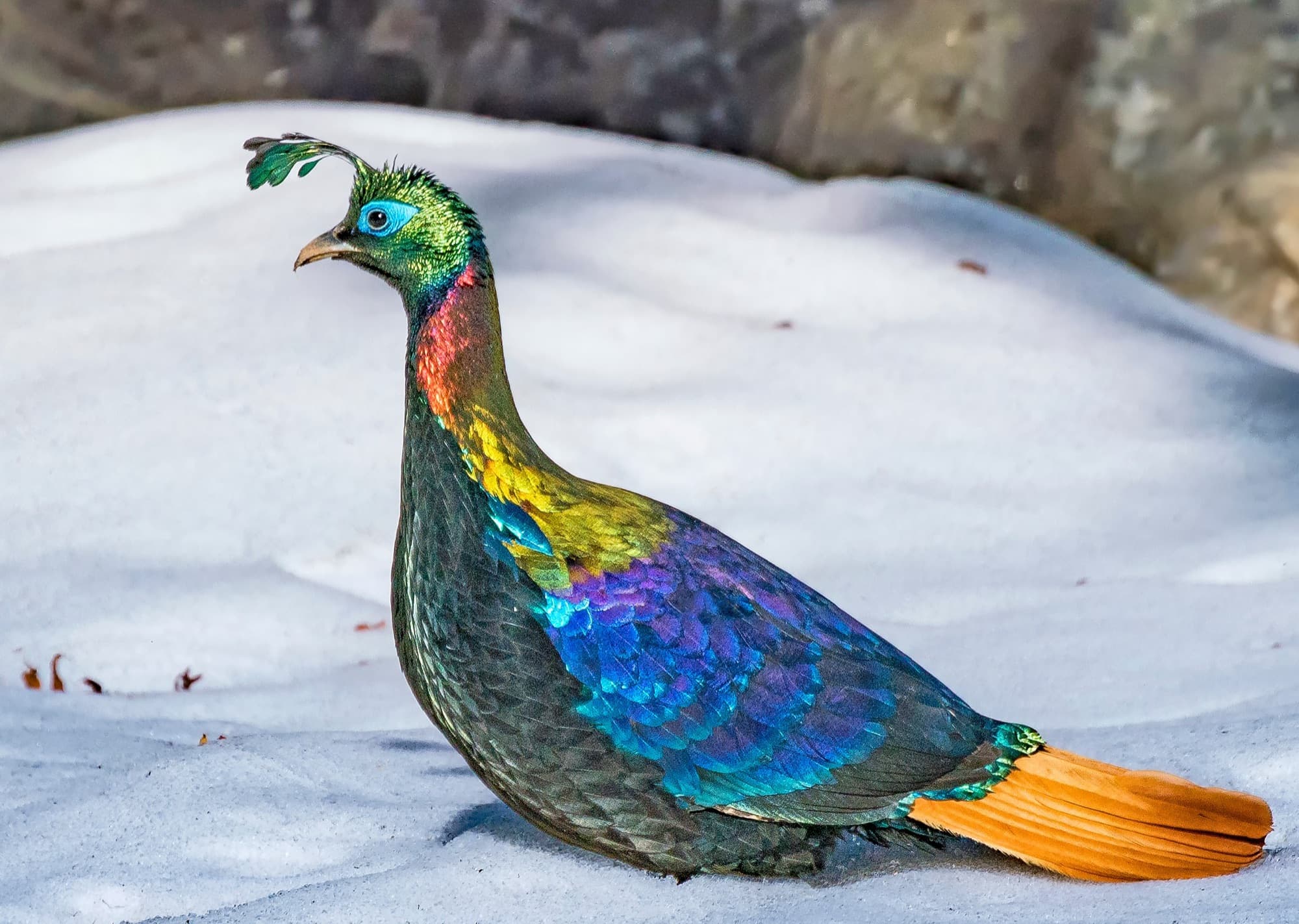
- A chance to see the Himalayan Monal, especially at dawn along the forest edge
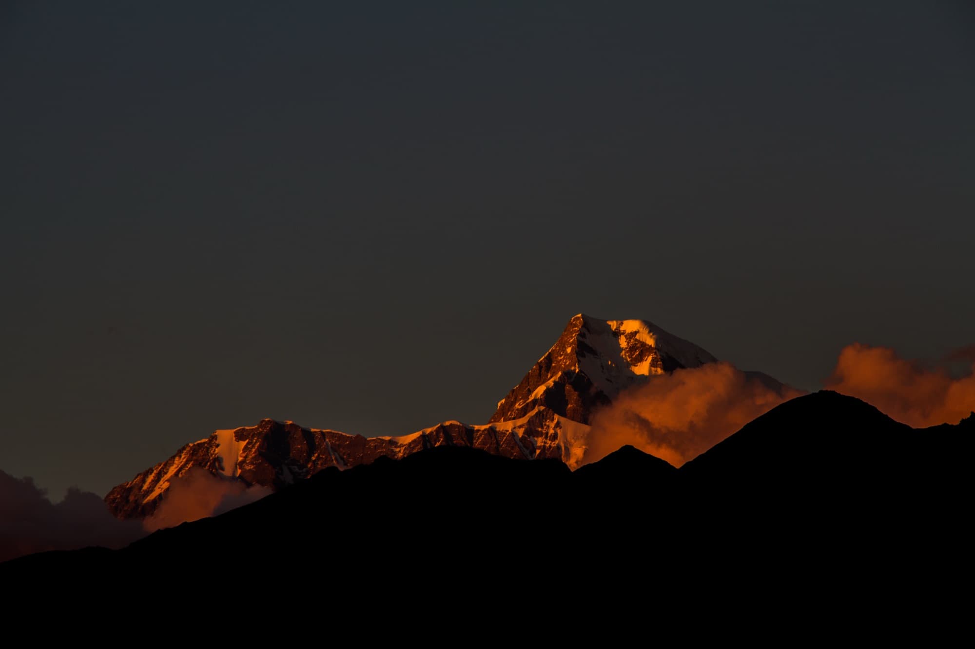
- Sunrise panorama of Trishul, Nanda Ghunti, Chaukhamba and Neelkanth
- Old oak and rhododendron forest above Wan
- Meadow camps with dark, star-filled skies
- Kukina Khal, the historic Curzon Trail saddle above Kanol
- Far fewer trekkers than the Roopkund route
Photos from the route
A typical itinerary
Monal Top is a young route and published itineraries differ on camps and distances. We plan it from local knowledge of the ridge, and can add an extra meadow night at Huneli for a slower trip.
- Day 1
Arrive in Wan (~2,440 m)
Drive in from Rishikesh, Dehradun or Kathgodam. Overnight in a village homestay.
- Day 2
Wan to the first meadow camp (~2,850 m)
A steady climb through oak and rhododendron forest to Suneli Dhar / Deli Gate. About 4–7 km.
- Day 3
Monal Top and down to Kukina Khal
A pre-dawn climb to the top for sunrise, then along the ridge to camp at Kukina Khal. About 7 km.
- Day 4
Down to Kanol or Wan
Descend to Kanol for a night in the village, or back to Wan for the road. About 5 km.
- Day 5
Drive back
Return to Rishikesh, Dehradun or Kathgodam — or stay on in Kanol.
When to go
Mar – Apr
Spring
Rhododendrons in bloom and monals most active. Patchy snow possible near the top.
May – June
Early summer
Green meadows and pleasant walking; haze often builds by afternoon.
Jul – Aug
Monsoon
Not recommended. Heavy rain, landslides on the mountain roads and poor visibility.
Sept – Nov
Autumn
The clearest skies and best mountain views of the year.
Dec – Feb
Winter
Snow on the upper ridge. Possible with a guide for those prepared for the cold.
The bird and the old trail
The Himalayan Monal — monal or danphe locally — is Uttarakhand’s state bird, the male flashing metallic green, blue and copper in the morning light.
Kukina Khal, the saddle at the end of the trek, was a stage on the trail Lord Curzon took through Garhwal in the early 1900s, linking Wan to Kanol and on to Sutol, Ramni and the Kuari Pass.
Before you go
- Forest permission is needed for camping on the ridge. We arrange it with the local range office — carry a government photo ID.
- In July 2026 the Supreme Court set aside the 2018 High Court ban on overnight camping in Uttarakhand's bugyals (high meadows), per trekking operators citing the order and a Badrinath Forest Division circular. The other protections still apply: no permanent structures, no commercial grazing, and all waste carried out. We confirm the current forest rules before every departure.
- Suitable for beginners in good health: expect 4–6 hours of walking a day and nights at around 2,800–3,100 m.
- Bring binoculars if you’d like to spot monals and other Himalayan birds — and keep voices low in the forest.
Sources
Photo credits
- Trishul and Nanda Ghunti from the high meadows east of Wan — Biswajit Majumdar, CC BY-SA 3.0, via Wikimedia Commons
- A male Himalayan Monal, Uttarakhand’s state bird (photographed at Tungnath) — Ajit Hota, CC BY-SA 4.0, via Wikimedia Commons
- Sunset on Nanda Ghunti, seen from Lohajung near Wan — Yash Soorma, CC BY-SA 4.0, via Wikimedia Commons
The Himalayas, beyond the usual route.
Tell us where you’d like to go. We’ll help with the rest.