Trek · Chamoli, Garhwal
Roopkund Trek
Through oak forest and across the great meadows of Ali and Bedni to the glacial “Skeleton Lake” beneath Trishul.
- Max altitude
- ~4,800 m / 15,750 ft (Roopkund lake)
- Duration
- 8 days, Lohajung to Lohajung
- Distance
- ~50–53 km on foot
- Difficulty
- Moderate–difficult
- Trailhead
- Lohajung / Wan, Dewal block
- Best season
- May – June, Sept – Oct
- Getting there
- Kathgodam (~210 km) or Rishikesh (~250 km) by road
- Nearest airport
- Pantnagar or Dehradun (Jolly Grant)
About the trek
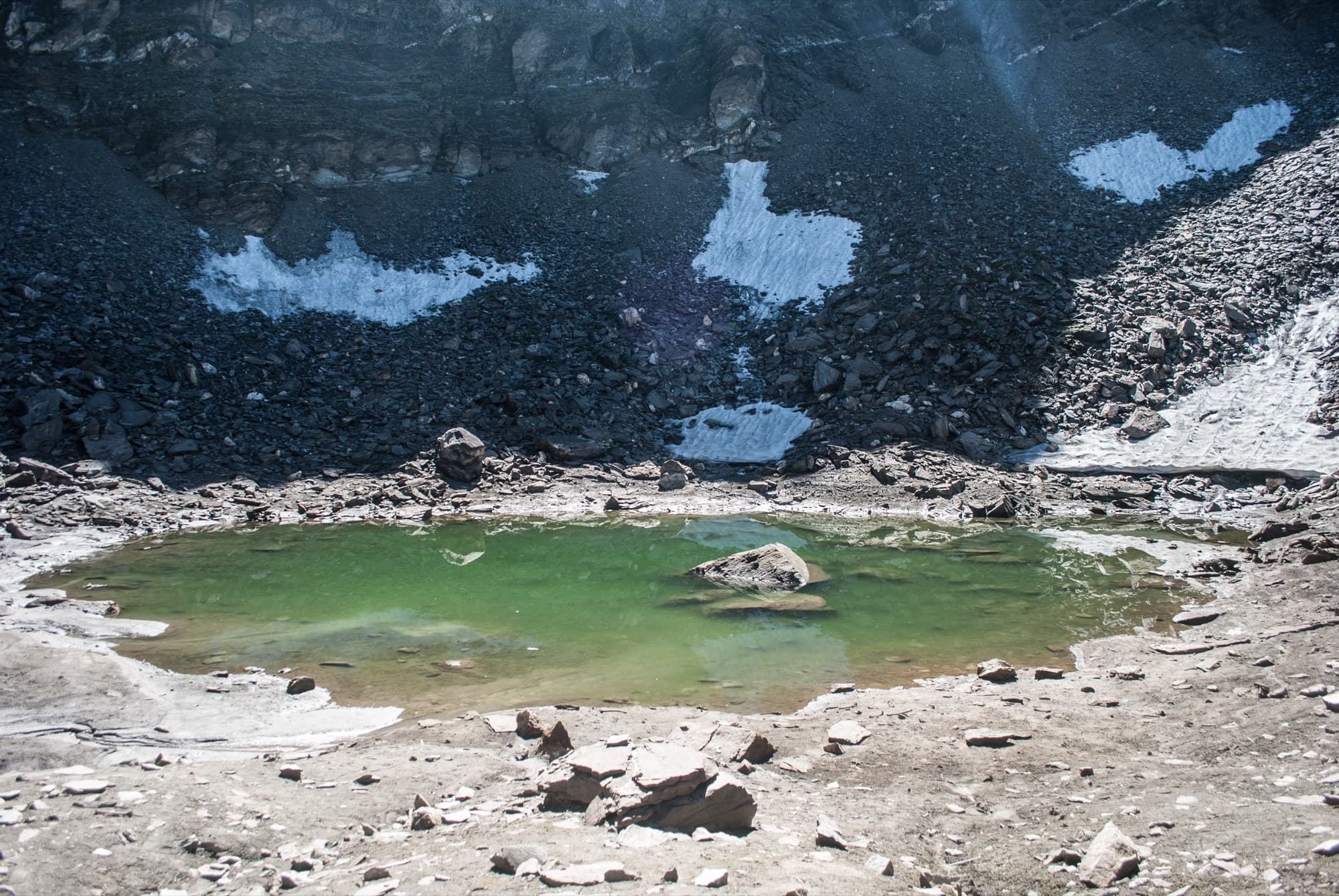
Roopkund is a small glacial tarn on the shoulder of Trishul (7,120 m) and Nanda Ghunti (6,310 m) — under 40 metres across and frozen for much of the year. Hundreds of human skeletons lie around its shore, which is how it came to be called Skeleton Lake. The trail climbs out of the oak and rhododendron forests above Wan and Didna onto Ali and Bedni Bugyal, among the largest high meadows in the Indian Himalaya, before crossing the rocky moraine of Patar Nachauni and Bhagwabasa to the lake.
Few Himalayan walks pack in this much: village trails, deep forest, open grassland, then stark rock and snow, with Trishul, Nanda Ghunti and the Chaukhamba massif in view for much of the way. The final climb goes above 4,500 m and is often on snow or ice, so this is a serious high-altitude trek, best suited to fit walkers with some trekking experience. Roopkund is our neighbourhood mountain — the lake sits at the head of the valleys around Kanol.
Highlights
- Roopkund lake and the centuries-old mystery of its skeletons
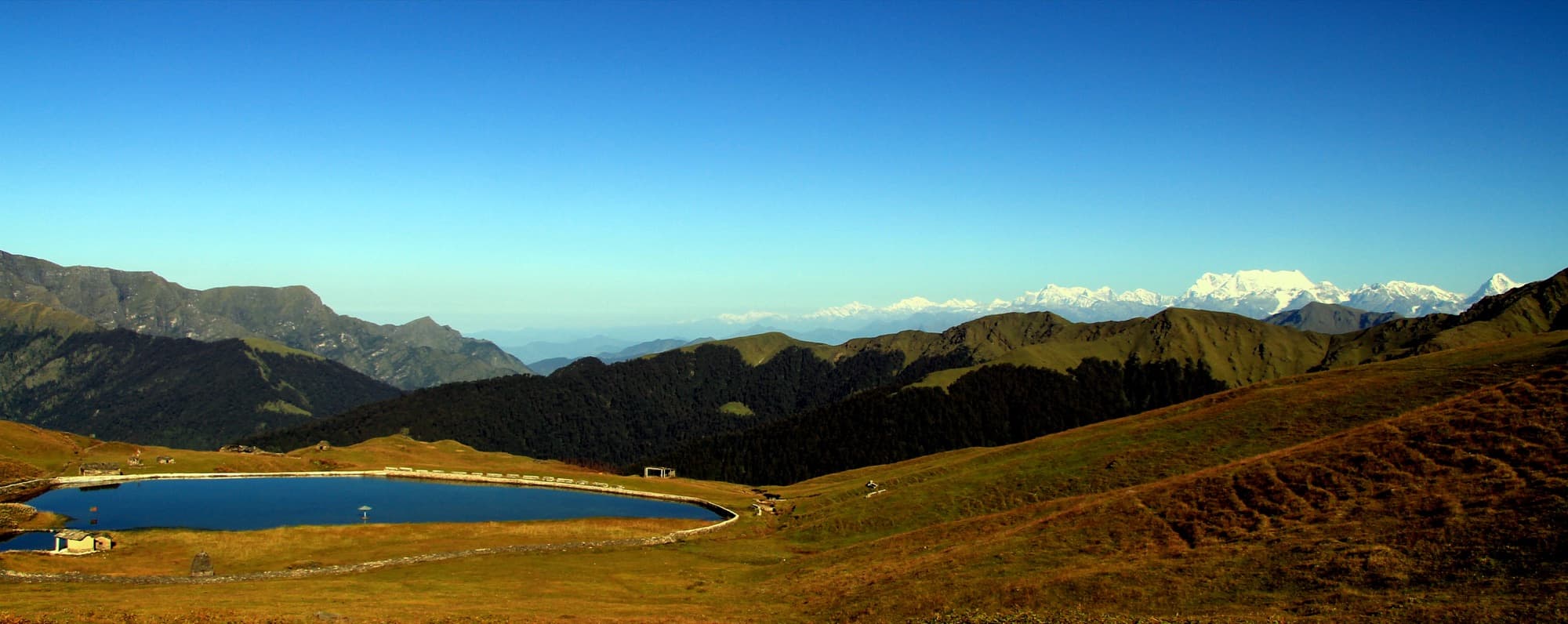
- Nights on Ali and Bedni Bugyal, with Bedni Kund mirroring Trishul
- Close views of Trishul and Nanda Ghunti; Chaukhamba and Neelkanth from the meadows
- Old oak and rhododendron forest above Wan and Didna
- The Kalu Vinayak shrine on the climb to Bhagwabasa
- Junargali ridge above the lake, when conditions allow
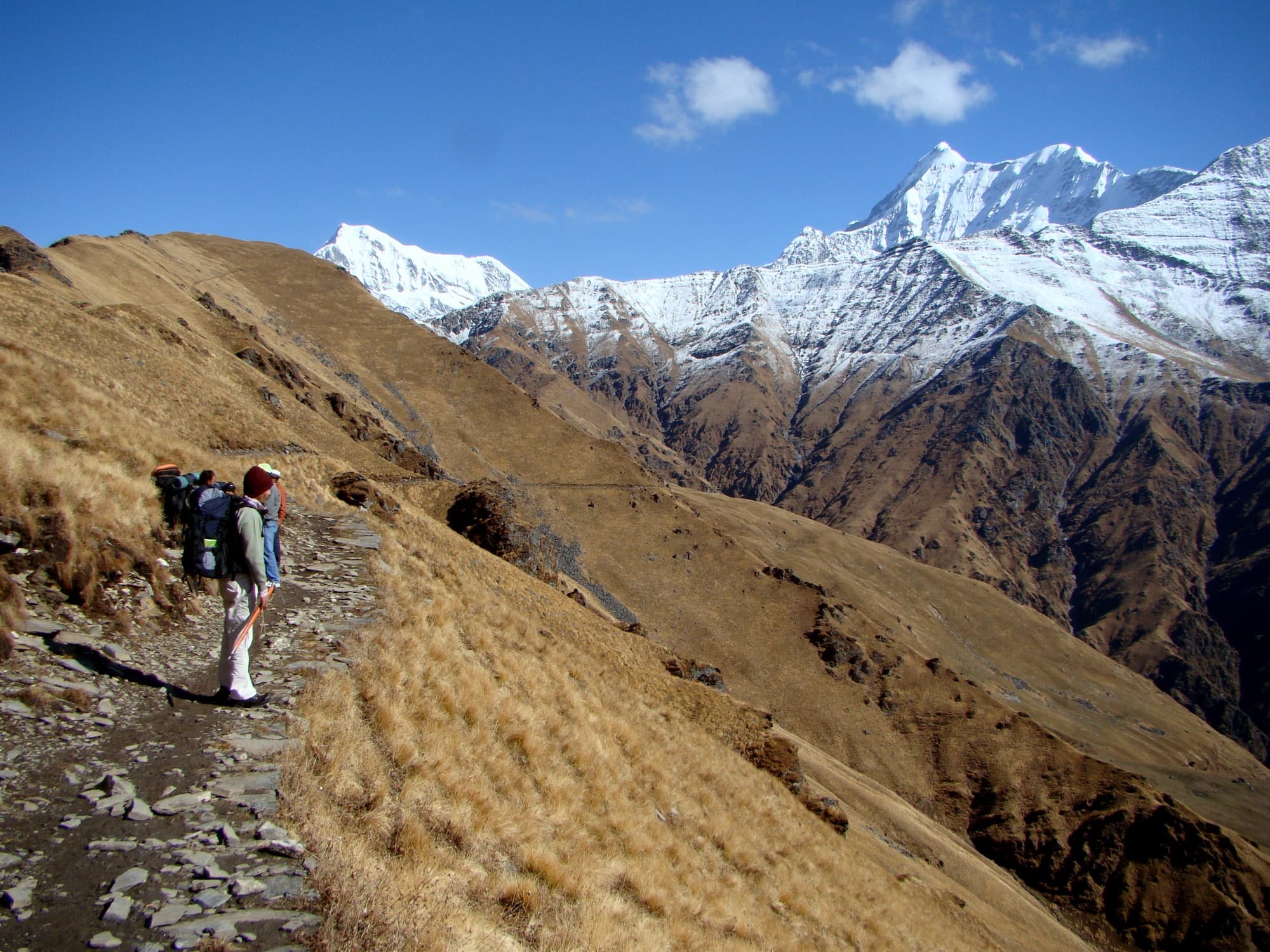
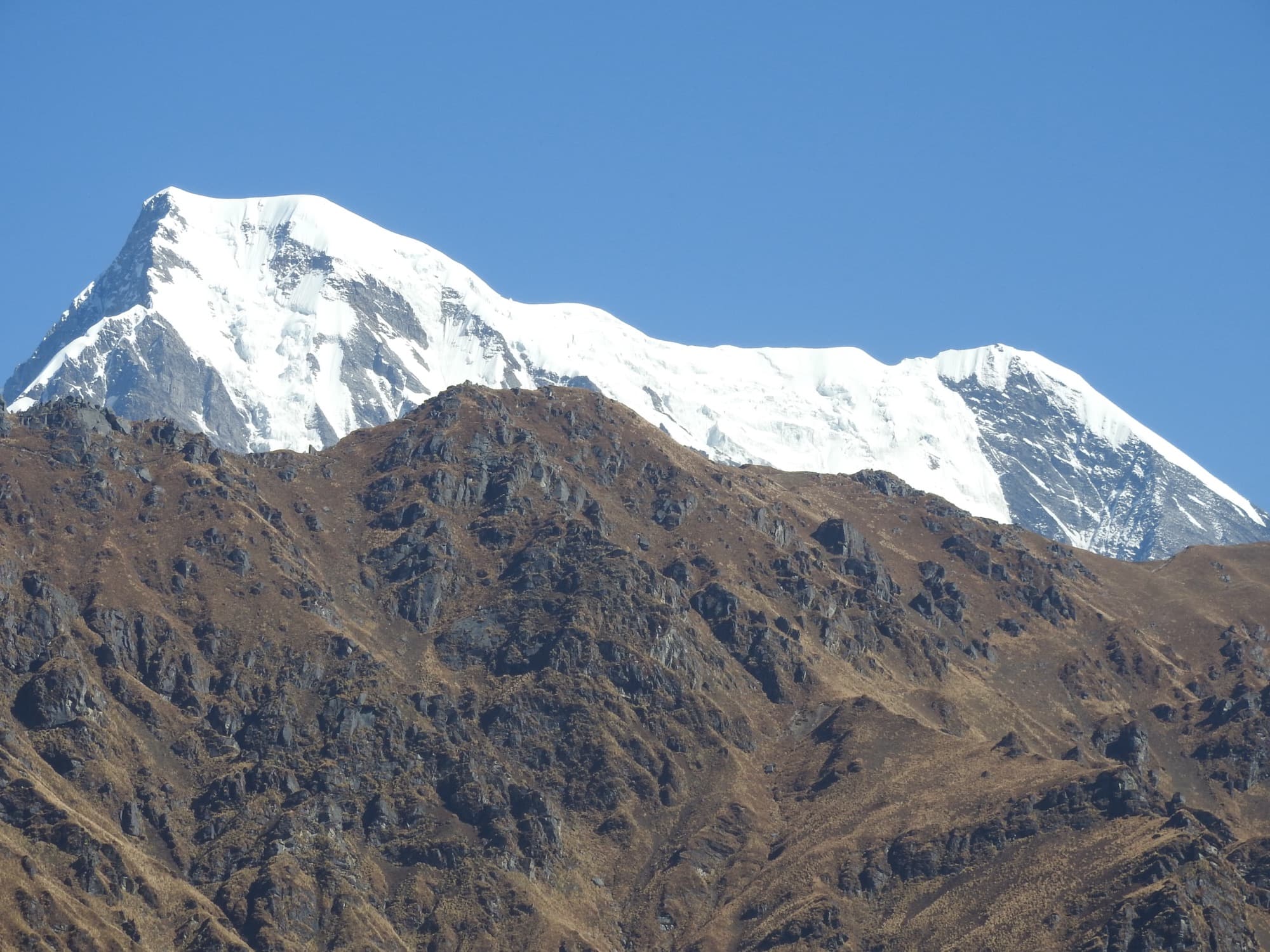
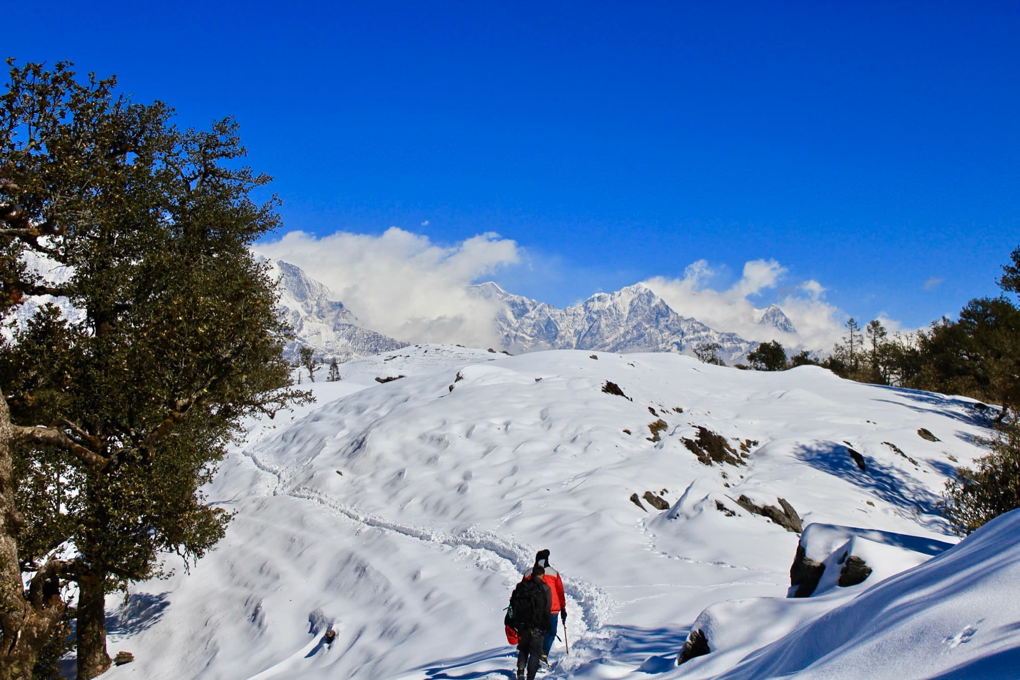
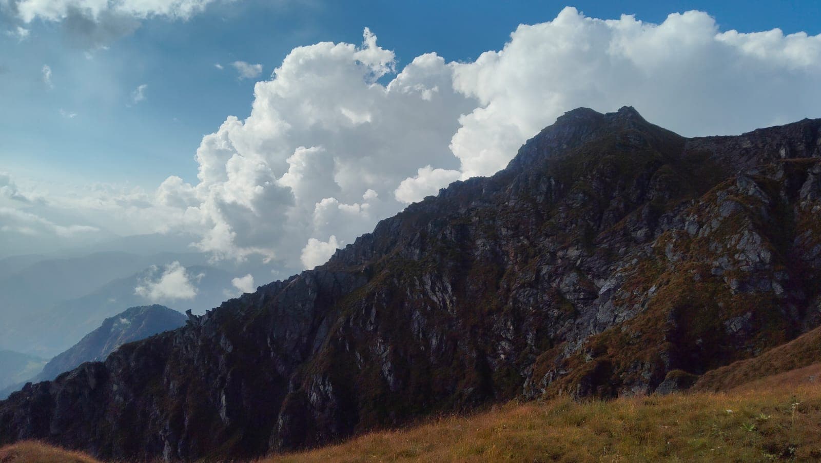
Photos from the route
A typical itinerary
This is the standard loop via Didna and Wan. From Kanol, Roopkund can also be approached from the Nandakini side via Sutol — ask us about that route. Days and camps are adjusted to the season, group and conditions.
- Day 1
Drive to Lohajung (~2,330 m)
A long, scenic drive into the hills from Kathgodam or Rishikesh. Overnight in Lohajung.
- Day 2
Lohajung to Didna (~2,500 m)
Down through forest to the Neel Ganga bridge, then a steep climb to Didna village. About 7–10 km.
- Day 3
Didna to Ali / Bedni Bugyal (~3,400 m)
Through dense oak forest and out onto the ridge meadows. About 10 km.
- Day 4
Bedni Bugyal to Patar Nachauni (~3,870 m)
A short, gentle stage across open grassland that helps with acclimatisation. About 5 km.
- Day 5
Patar Nachauni to Bhagwabasa (~4,330 m)
A steep climb past Kalu Vinayak to a stark, rocky camp below the lake. About 4–5 km.
- Day 6
Roopkund (~4,800 m) and back down
An early start — often 3 or 4 am — for the lake, and Junargali if safe, then down to Patar Nachauni or Bedni. 12–16 km.
- Day 7
Down to Wan, drive to Lohajung
Through Ghairoli Patal and the forest to Wan, then by road to Lohajung. About 10–11 km.
- Day 8
Drive back
Return to Kathgodam or Rishikesh.
When to go
May – June
Pre-monsoon
Snow on the upper trail and often around the lake. Clear mornings; microspikes usually needed above Bhagwabasa.
Sept – Oct
Autumn
The best window. Golden meadows, the clearest views, and the lake most likely free of ice. Cold nights.
Jul – Aug
Monsoon
Not recommended. Heavy rain, landslides on the mountain roads and poor visibility.
Nov – Apr
Winter
The upper route is snowbound and the lake isn’t attempted. Brahmatal is the winter alternative nearby.
The mystery of Skeleton Lake
The skeletons were rediscovered in 1942 by a forest ranger, H.K. Madhwal. Local legend tells of Raja Jasdhaval of Kannauj and his pilgrim party, struck down by a hailstorm sent by the goddess Nanda Devi.
A 2019 genetic study of 38 individuals found at least two separate episodes: a South Asian group from around the 7th–10th century, and a group with eastern Mediterranean ancestry from around 1800. The lake also lies on the route of the Nanda Devi Raj Jat, the 12-yearly pilgrimage last fully held in 2014.
Before you go
- A Forest Department permit (Badrinath Forest Division) is required. We arrange it with the range office — carry a government photo ID.
- In July 2026 the Supreme Court set aside the 2018 High Court ban on overnight camping in Uttarakhand's bugyals (high meadows), per trekking operators citing the order and a Badrinath Forest Division circular. The other protections still apply: no permanent structures, no commercial grazing, and all waste carried out. We confirm the current forest rules before every departure.
- Altitude is the main risk. The itinerary builds in gradual gain and a short day at Bedni or Patar Nachauni; anyone with signs of AMS turns back.
- Summit day is long and can be icy — microspikes and an early start are standard, especially in May–June and after early October snow.
- Fitness guide: comfortably jog 5 km in about 35 minutes, and ideally have trekked above 3,000 m before.
- Do not touch or remove the bones at the lake. Mules and porters are available to carry loads.
Sources
Photo credits
- Roopkund, a small glacial lake ringed by scree and snow patches — Schwiki, CC BY-SA 4.0, via Wikimedia Commons
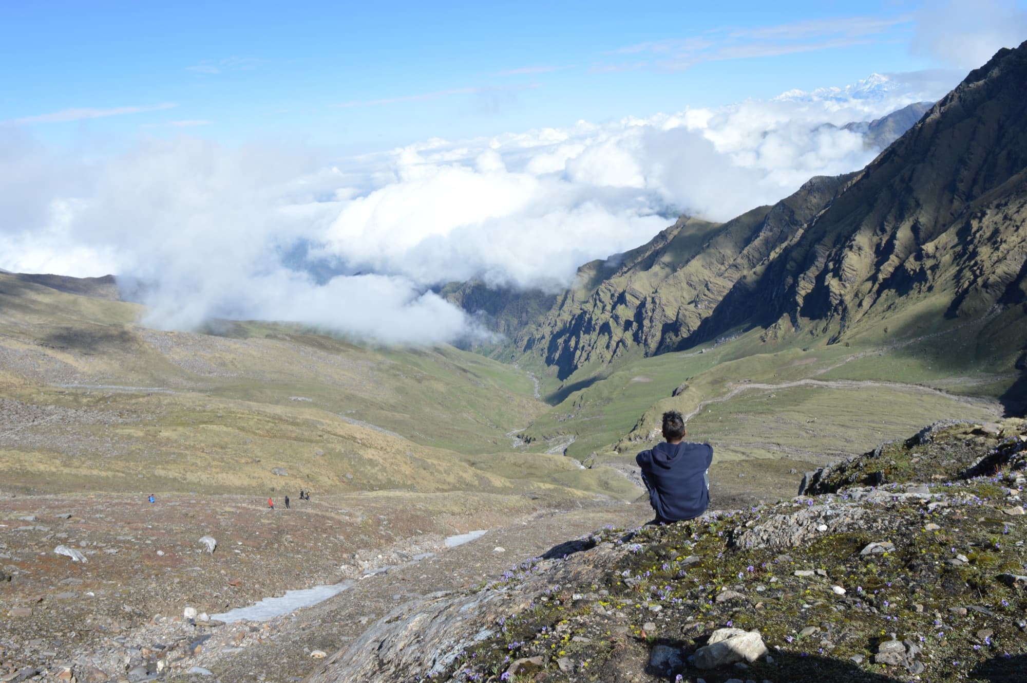
- A trekker resting above the green valleys of the Roopkund route — Shubhamrathod15, CC BY-SA 4.0, via Wikimedia Commons
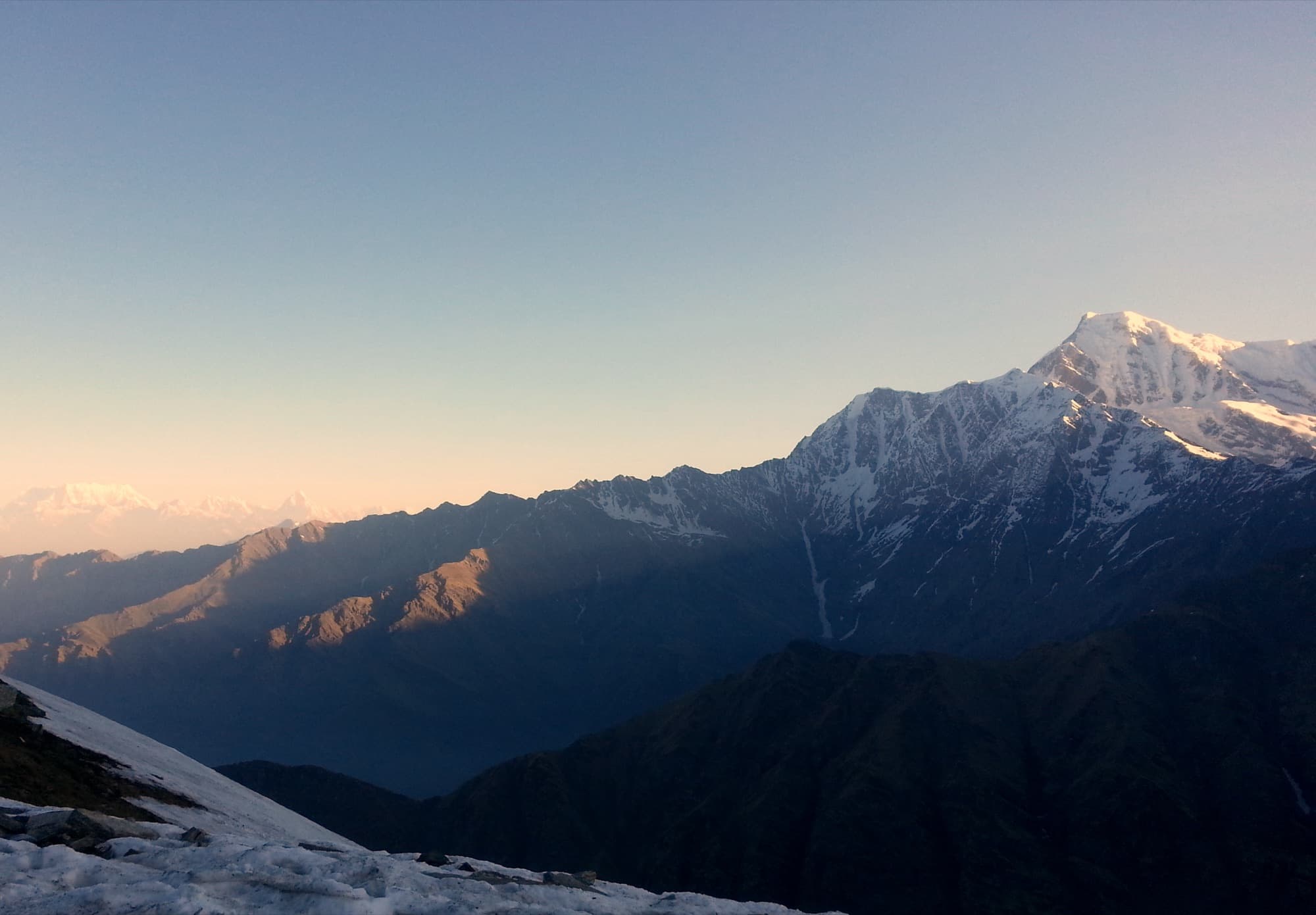
- First light on a snow peak from the upper Roopkund trail — Pavan Lulla, CC BY 3.0, via Wikimedia Commons
- Bedni Kund on the autumn meadow, with snow peaks on the horizon — Abhijith Shastry, CC BY 2.0, via Wikimedia Commons
The Himalayas, beyond the usual route.
Tell us where you’d like to go. We’ll help with the rest.