Treks · Garhwal & Kumaon
Treks across Uttarakhand
Beyond the trails around Kanol, we help plan treks across the state — from weekend summits to remote glacial lakes. Which one makes sense depends on the season, your fitness and what you want from the mountains.
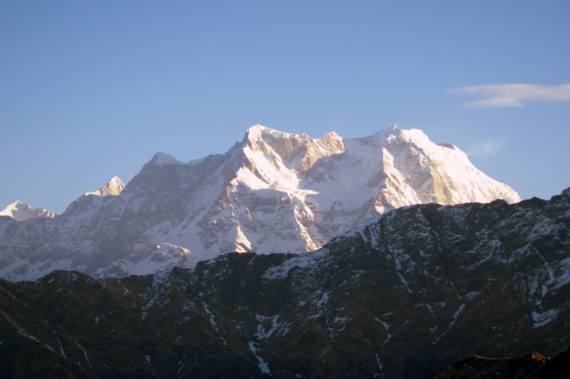
Near us — Chamoli & Chopta
Our home district. All of these are reached via Joshimath, Gopeshwar or Chopta, and pair well with a stay in Kanol.
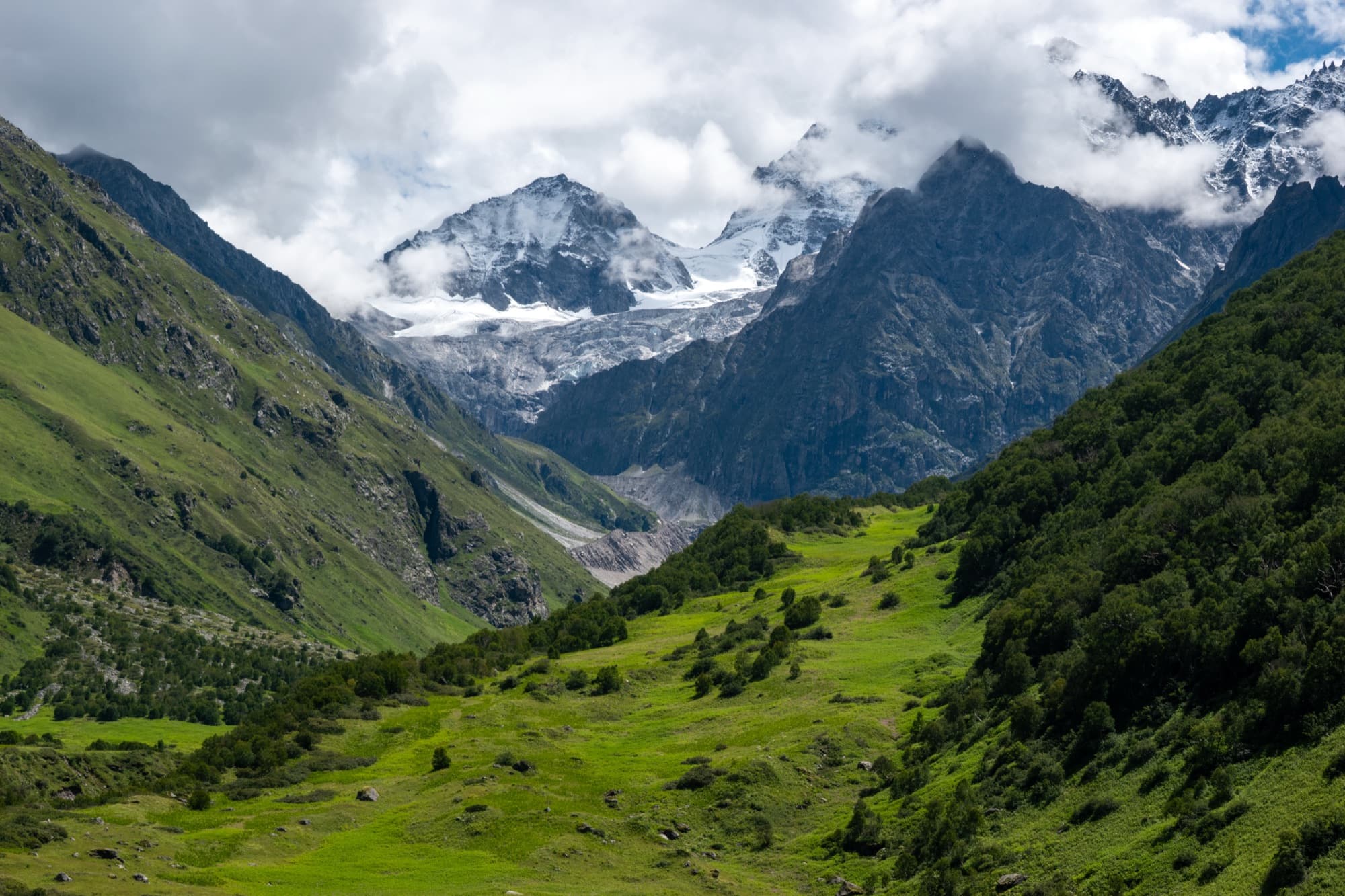
Chamoli
Valley of Flowers & Hemkund Sahib
A UNESCO World Heritage valley that bursts into hundreds of wildflower species each monsoon. From the same base, a steep climb leads to the Hemkund Sahib gurudwara beside its glacial lake.
- Max altitude
- ~3,658 m (Hemkund ~4,329 m)
- Duration
- 5–6 days
- Difficulty
- Easy–moderate
- Best months
- Jun – Sep (flowers peak Jul – Aug)
- Trailhead
- Govindghat → Ghangaria
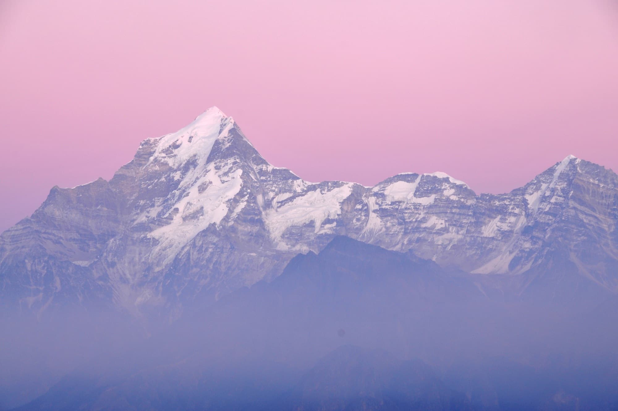
Chamoli
Kuari Pass
The classic Curzon Trail through oak forest and the Tali meadows to a pass facing Nanda Devi, Dunagiri and Kamet. One of the finest beginner panoramas in the Himalaya — the same old trail that once passed through Kanol.
- Max altitude
- ~3,815 m
- Duration
- 6 days
- Difficulty
- Easy–moderate
- Best months
- Dec – Mar (snow), Apr – May, Sep – Nov
- Trailhead
- Karchi / Dhak, near Joshimath
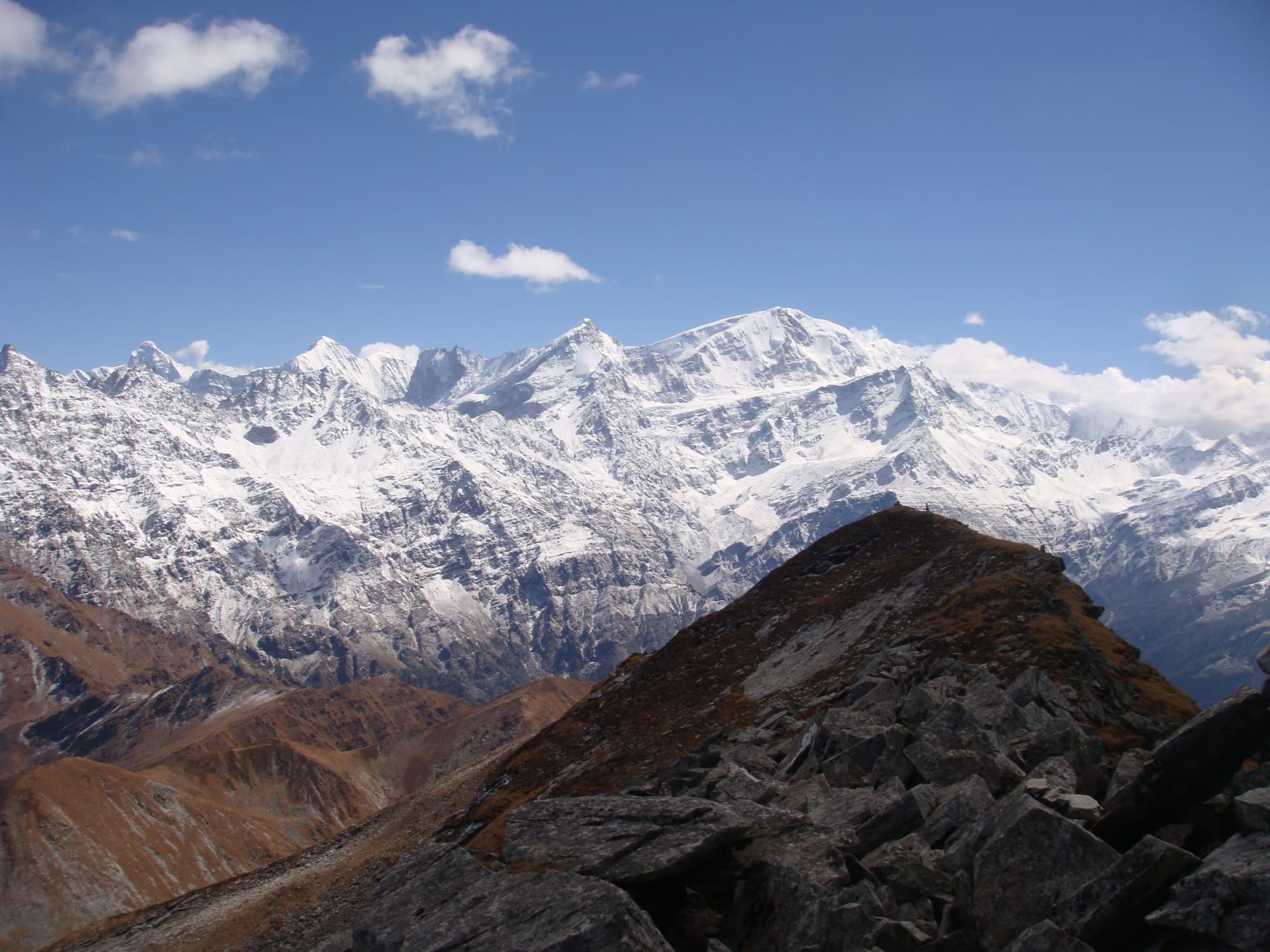
Chamoli
Pangarchulla Peak
A summit climb beyond the Kuari Pass trail. The final ridge is a boulder-and-snow scramble, best for trekkers with some high-altitude experience.
- Max altitude
- ~4,575 m
- Duration
- 6–7 days
- Difficulty
- Moderate–difficult
- Best months
- Mar – May, Sep – Oct
- Trailhead
- Dhak / Tugasi, near Joshimath
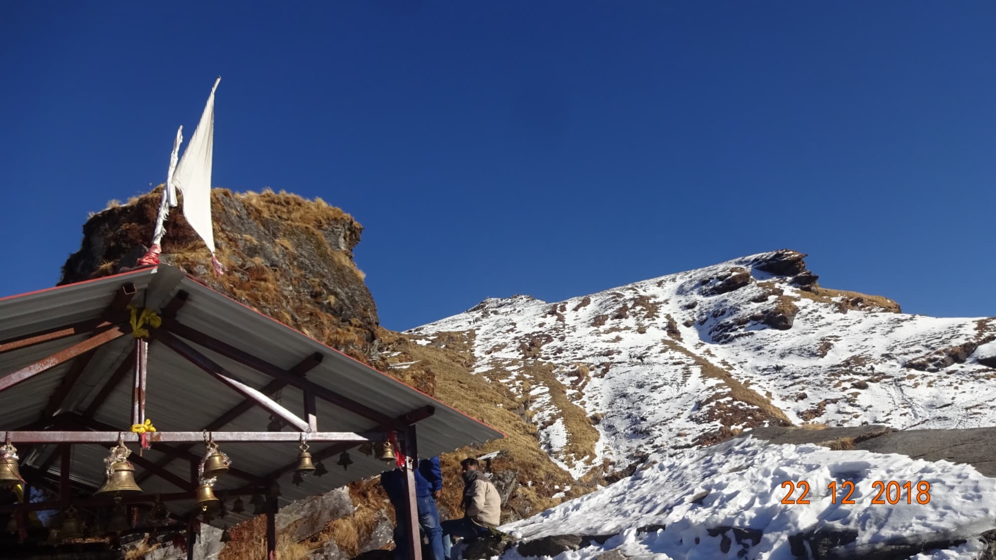
Rudraprayag (Chopta)
Tungnath – Chandrashila
A short climb to Tungnath, the highest Shiva temple in the world, and on to Chandrashila summit for a 360° view of Nanda Devi, Trishul and Chaukhamba. Often combined with Deoriatal.
- Max altitude
- ~3,690 m
- Duration
- 2–4 days
- Difficulty
- Easy–moderate
- Best months
- All year except monsoon; snow Dec – Mar
- Trailhead
- Chopta
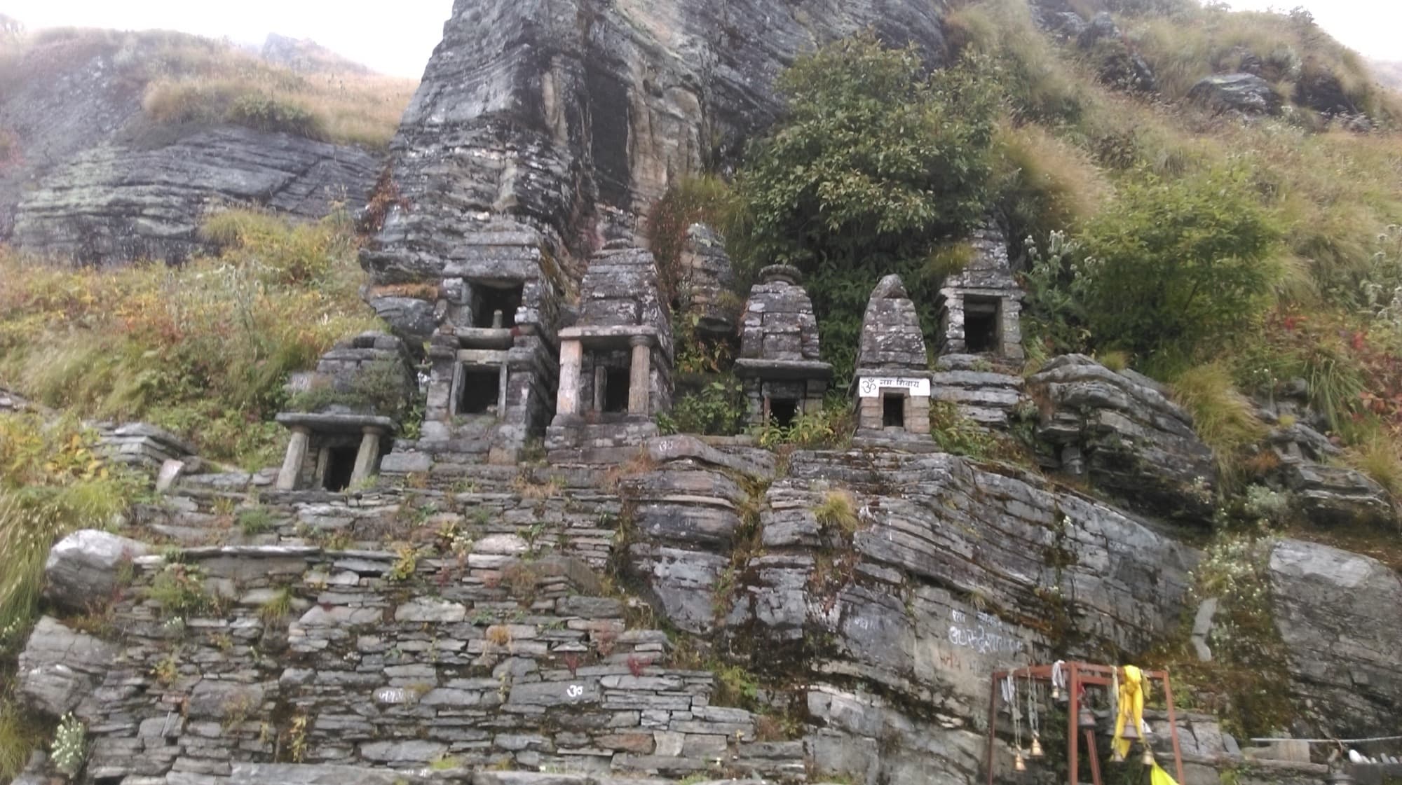
Chamoli
Rudranath
The most remote of the Panch Kedar temples, through forest and high meadows with wide views of Nanda Devi and Trishul. Steeper and longer than its altitude suggests.
- Max altitude
- ~3,600 m (passes ~4,000 m)
- Duration
- 4–5 days
- Difficulty
- Moderate–difficult
- Best months
- May – Jun, Sep – Oct
- Trailhead
- Sagar village, near Gopeshwar
Kagbhusandi Tal
Chamoli
Kagbhusandi Tal
A remote emerald lake below Kankul Khal, facing Hathi–Gauri Parbat. No settlements beyond Bhyundar — fully camped, for experienced trekkers only.
- Max altitude
- ~4,500–5,000 m (sources vary)
- Duration
- 5–7 days
- Difficulty
- Difficult
- Best months
- Late May – Jun, Sep – Oct
- Trailhead
- Govindghat → Bhyundar
Elsewhere in Garhwal
Uttarkashi and Tehri — further from Kanol, but classics we’re happy to help plan.
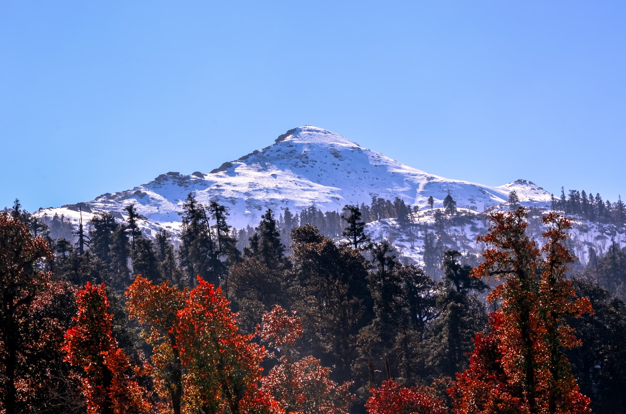
Uttarkashi
Kedarkantha
India’s best-known winter summit trek, through pine forest to snowy camps and a sunrise summit facing Swargarohini and Bandarpunch.
- Max altitude
- ~3,800 m
- Duration
- 5–6 days
- Difficulty
- Easy–moderate
- Best months
- Dec – Apr (snow)
- Trailhead
- Sankri
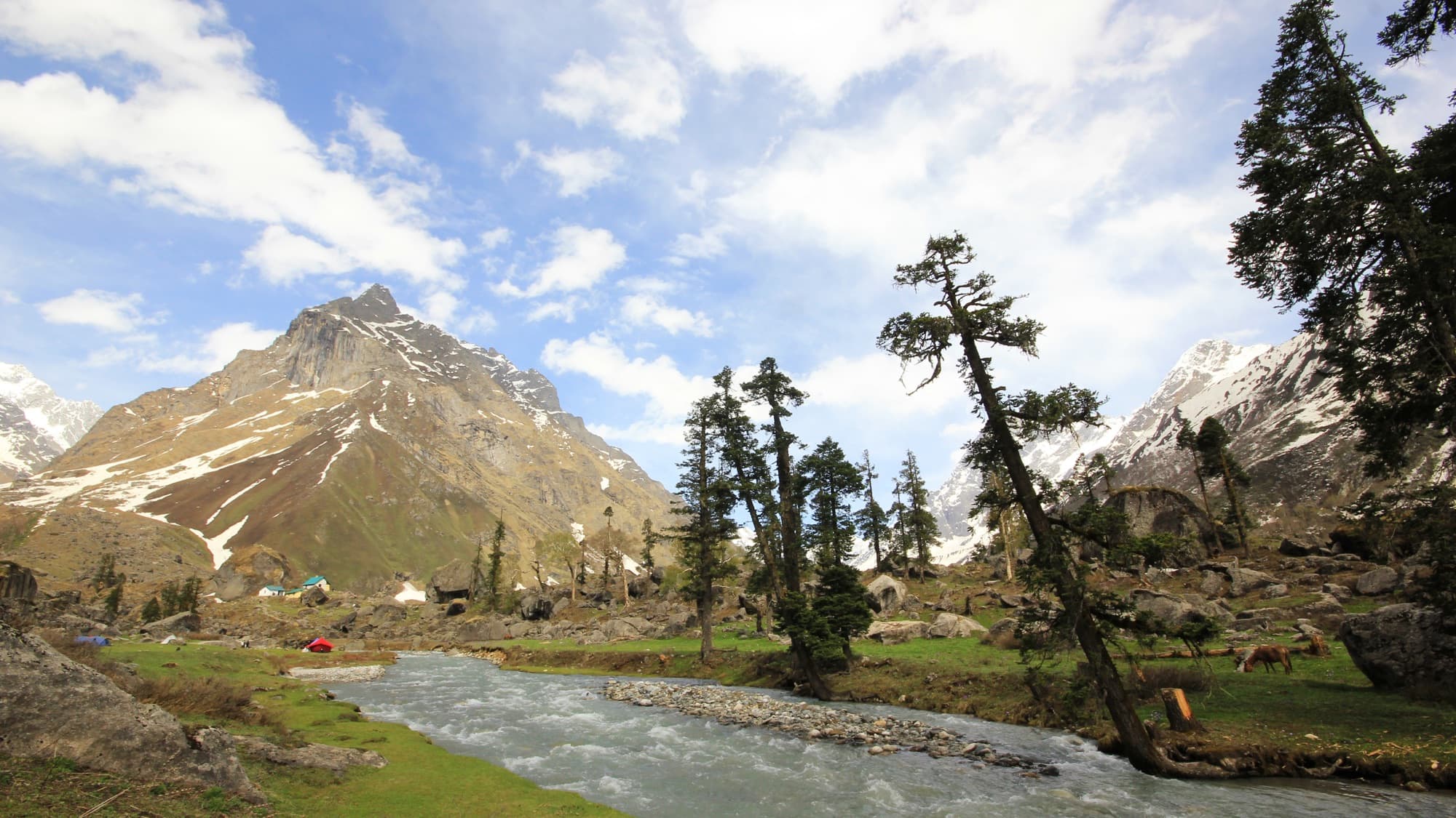
Uttarkashi
Har Ki Dun
A gradual valley walk beneath Swargarohini past old wooden villages like Osla — rich in culture and lovely in spring and autumn.
- Max altitude
- ~3,566 m
- Duration
- 6–7 days
- Difficulty
- Moderate
- Best months
- Apr – Jun, Sep – Dec
- Trailhead
- Sankri → Taluka
Uttarkashi
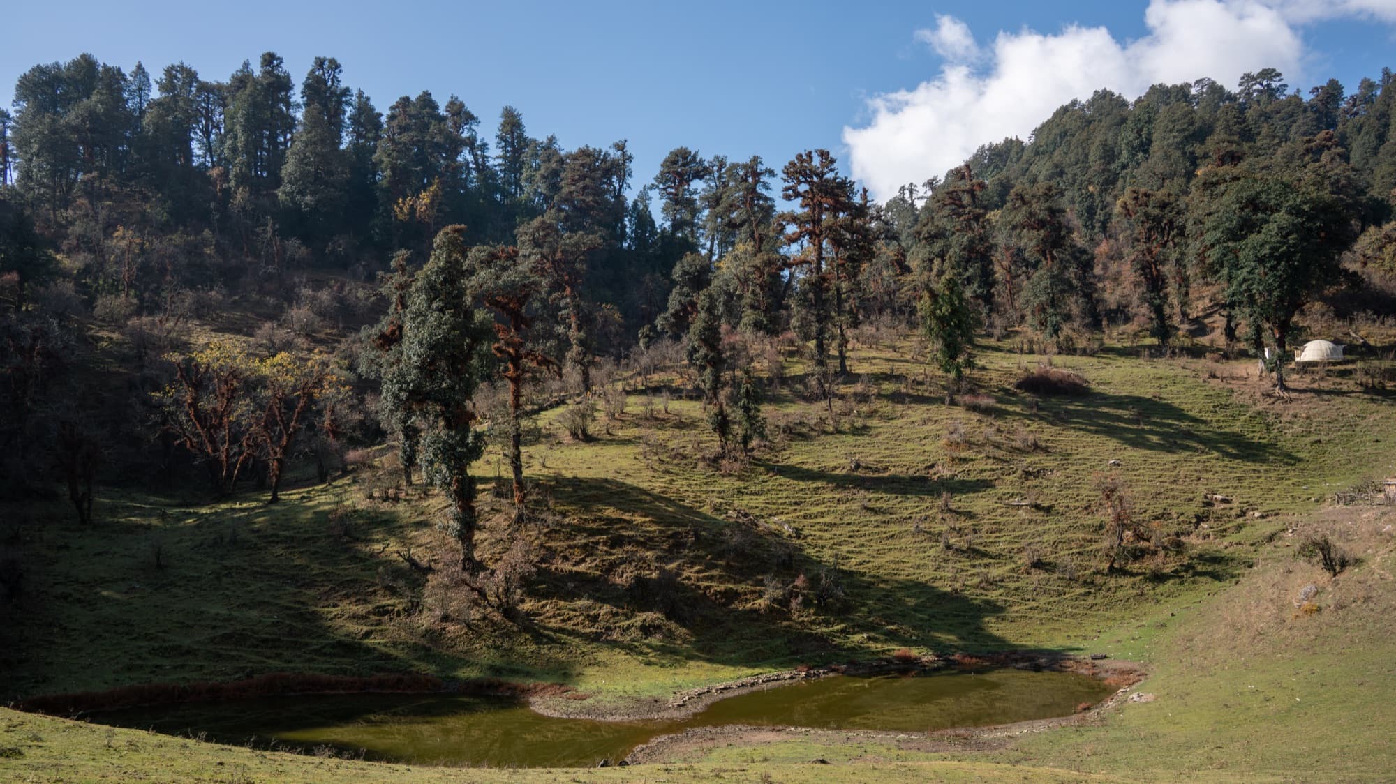
Dayara Bugyal
One of Uttarakhand’s loveliest high meadows, through oak and maple forest. Gentle enough for families; a snowfield in winter.
- Max altitude
- ~3,600–3,750 m
- Duration
- 4–6 days
- Difficulty
- Easy–moderate
- Best months
- All year except monsoon; snow Dec – Mar
- Trailhead
- Raithal or Barsu
Tehri Garhwal
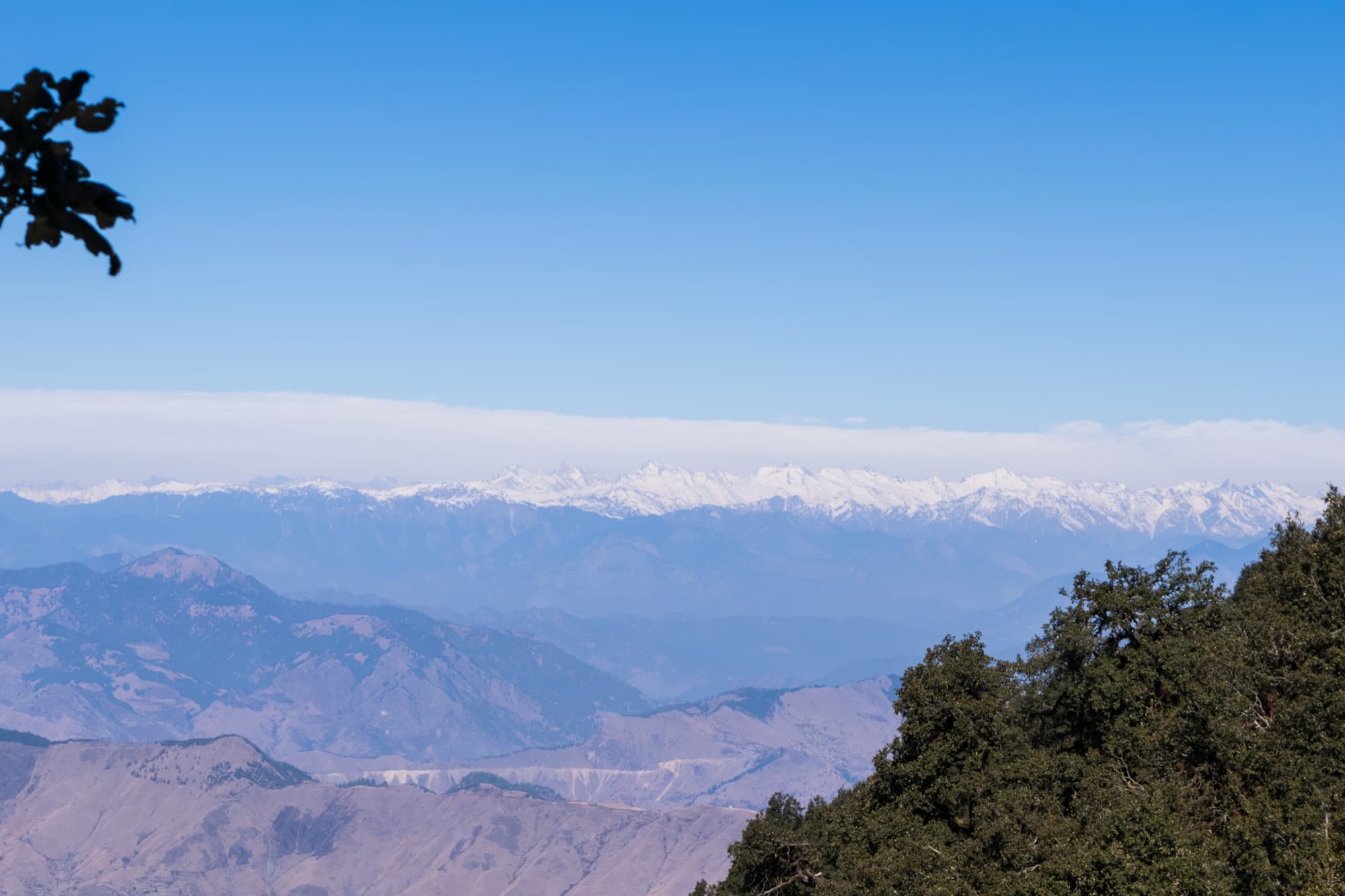
Nag Tibba
The “Serpent’s Peak”, highest in the Jaunpur range — an ideal weekend trek with views of Bandarpunch and the Gangotri peaks.
- Max altitude
- 3,022 m
- Duration
- 2 days
- Difficulty
- Easy
- Best months
- Oct – Jun; snow Dec – Feb
- Trailhead
- Pantwari
Uttarkashi
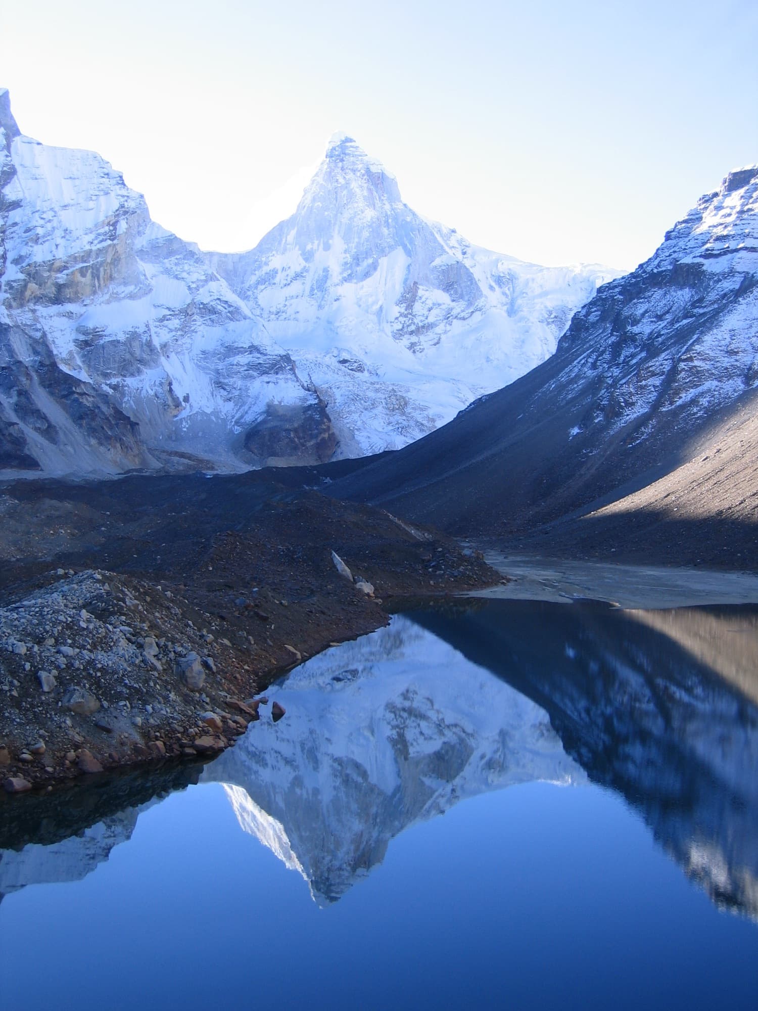
Kedartal
A high glacial lake below Thalay Sagar, reached by steep, rocky and exposed trail with rapid height gain. For experienced trekkers.
- Max altitude
- ~4,750 m
- Duration
- 6–7 days
- Difficulty
- Difficult
- Best months
- May – Jun, Sep – Oct
- Trailhead
- Gangotri
Kumaon
The eastern half of Uttarakhand, with its own villages, glaciers and trails.
Bageshwar
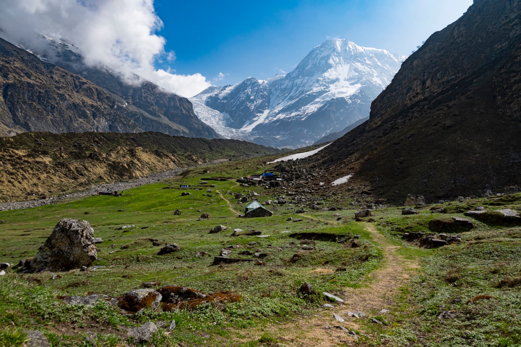
Pindari Glacier
A classic trail through Dhakuri, Khati and Dwali to the snout of the Pindari glacier between Nanda Kot and Nanda Khat, with rest houses and homestays along the way.
- Max altitude
- ~3,660–3,800 m (Zero Point)
- Duration
- 6–8 days
- Difficulty
- Easy–moderate
- Best months
- May – Jun, Sep – Oct
- Trailhead
- Loharkhet / Kharkiya
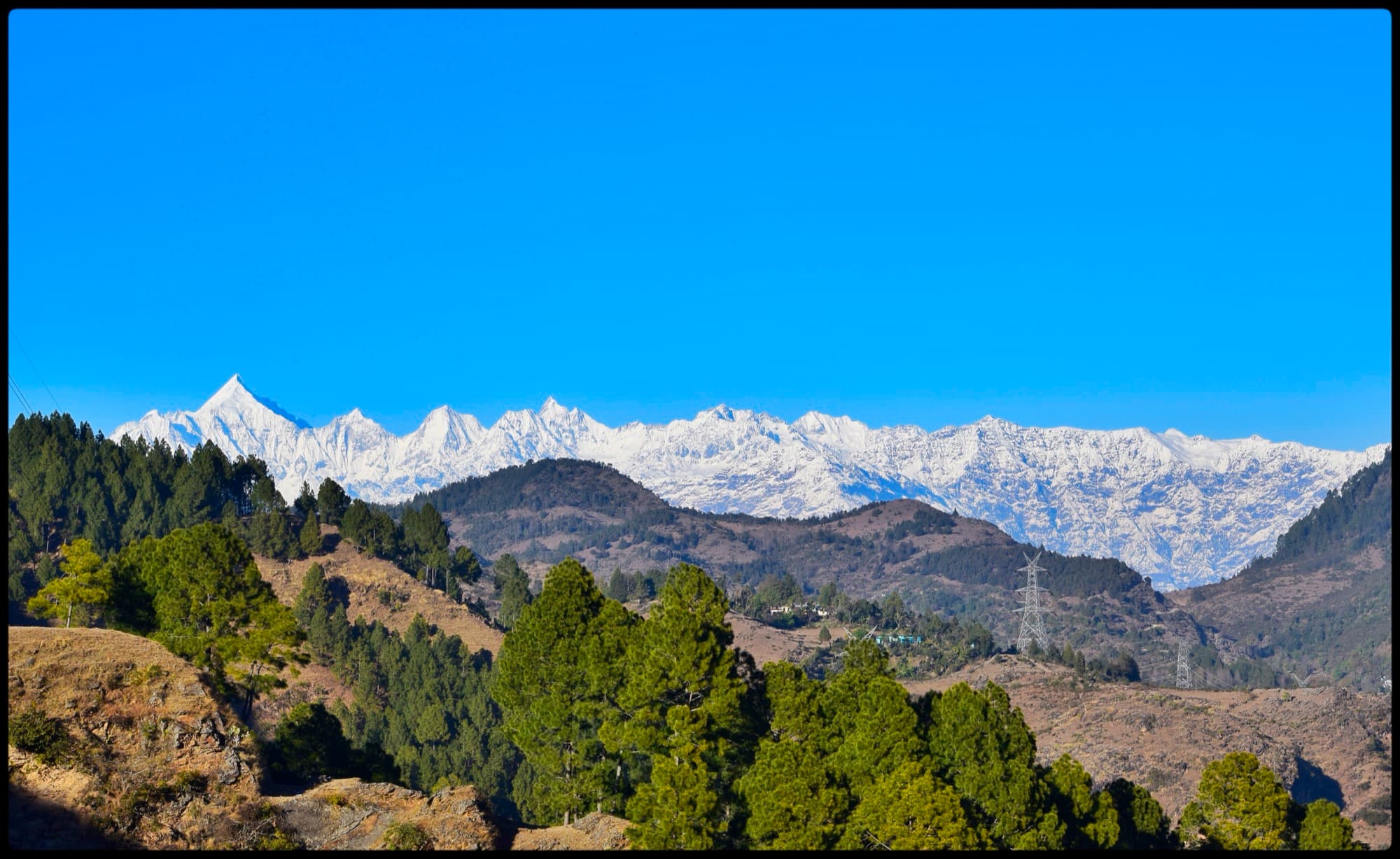
Pithoragarh
Panchachuli Base Camp
Through the remote Darma valley, home of the Rang community, to the foot of the five Panchachuli peaks. An Inner Line Permit from Dharchula is usually required.
- Max altitude
- ~3,500–4,260 m
- Duration
- 6–8 days
- Difficulty
- Moderate
- Best months
- May – Jun, Sep – Oct
- Trailhead
- Dugtu / Dantu, via Dharchula
Altitudes and durations are typical figures and vary between sources and routes. Permits, seasonal access and conditions change — tell us what you have in mind and we’ll tell you honestly whether it works for your dates and fitness.
Sources
Photo credits
- The Chaukhamba massif in early morning sun, seen from Tungnath — Vvnataraj, CC BY-SA 3.0, via Wikimedia Commons
- The Valley of Flowers meadow leading to glaciated peaks — Rohit Sharma, CC BY-SA 4.0, via Wikimedia Commons
- Dunagiri at dawn, seen from Kuari Pass — Sumodm, CC BY-SA 4.0, via Wikimedia Commons
- A long wall of snow peaks from the Pangarchulla ridge — ShwethaSulegai, CC BY-SA 4.0, via Wikimedia Commons
- Bells at a shrine near Tungnath, with Chandrashila summit behind — Navdeep Gusain, CC BY-SA 4.0, via Wikimedia Commons
- Ancient stone shrines beside Rudranath temple — Ssdhyani, CC BY-SA 4.0, via Wikimedia Commons
- Snow-covered Kedarkantha summit above pine forest — Kanthi Kiran, CC BY-SA 4.0, via Wikimedia Commons
- A stream winding through the Har Ki Dun meadow below snowy peaks — Omkar, CC BY-SA 4.0, via Wikimedia Commons
- A forest pond at Gui camp on the way to Dayara Bugyal — Satdeep Gill, CC BY-SA 4.0, via Wikimedia Commons
- The Bandarpunch range beyond layered hills, from Nag Tibba — Ashish Gupta, CC BY 2.0, via Wikimedia Commons
- Thalay Sagar mirrored in Kedartal lake — Peter Andersen, CC BY-SA 3.0, via Wikimedia Commons
- A trail through a boulder meadow towards the Pindari glacier — Harshit SR, CC BY-SA 4.0, via Wikimedia Commons
- The five Panchachuli peaks above pine-covered hills — Mukul.pandey07, CC BY-SA 4.0, via Wikimedia Commons
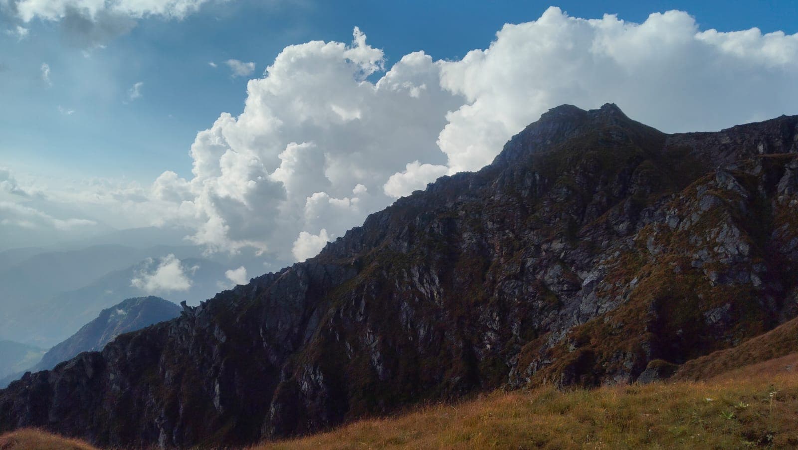
The Himalayas, beyond the usual route.
Tell us where you’d like to go. We’ll help with the rest.