Trek · Chamoli, Garhwal
Ali Bedni Bugyal Trek
A walk across two of the finest high meadows in Asia, with Trishul and Nanda Ghunti on the skyline.
- Max altitude
- ~3,800 m / 12,500 ft (Bedni Top)
- Duration
- 6 days, Lohajung to Lohajung
- Distance
- ~30 km on foot
- Difficulty
- Easy–moderate
- Trailhead
- Lohajung / Wan, Dewal block
- Best season
- May – June, Sept – Nov
- Getting there
- Kathgodam (~210 km) or Rishikesh (~250 km) by road
- Nearest airport
- Pantnagar or Dehradun (Jolly Grant)
About the trek
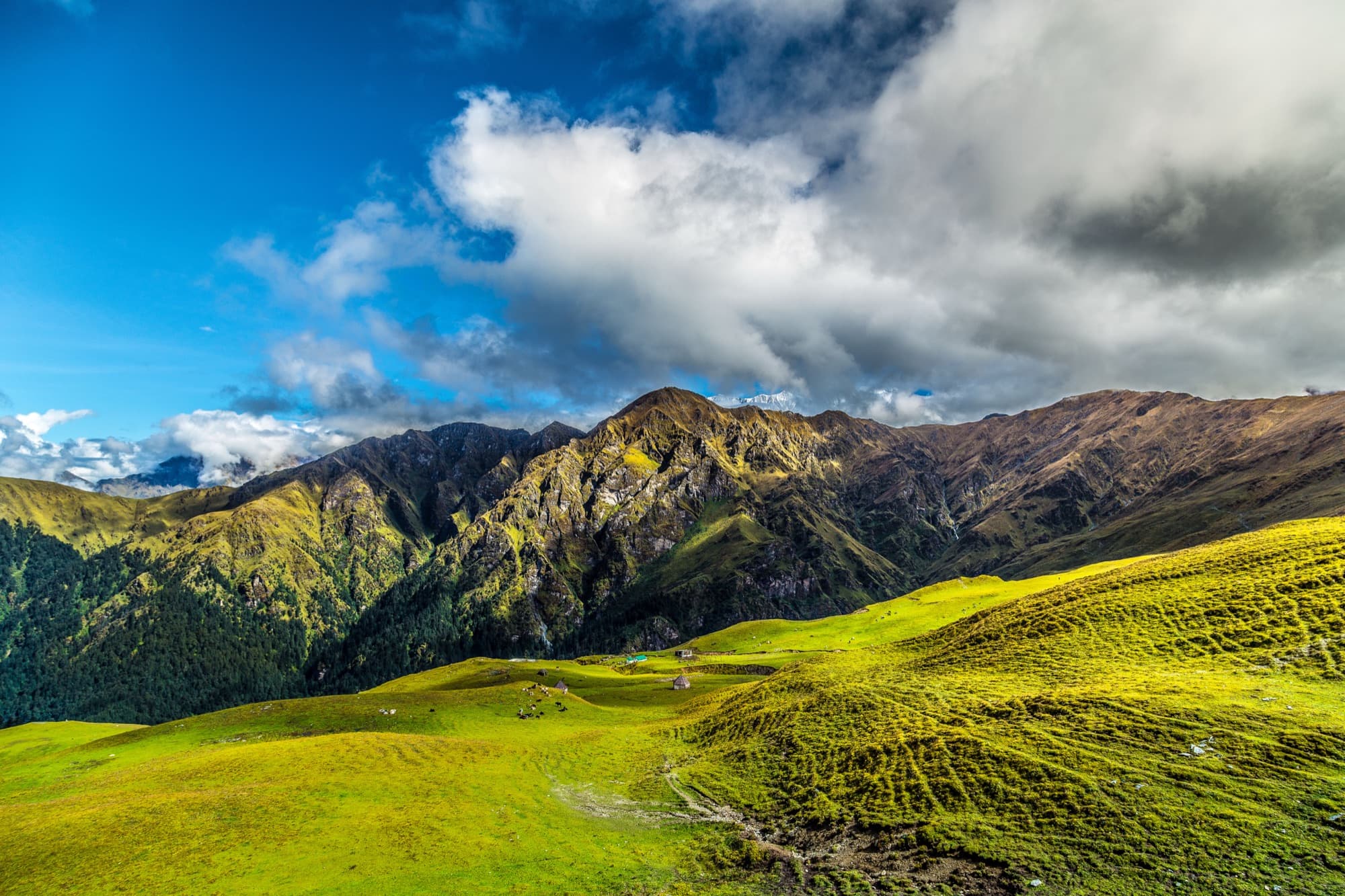
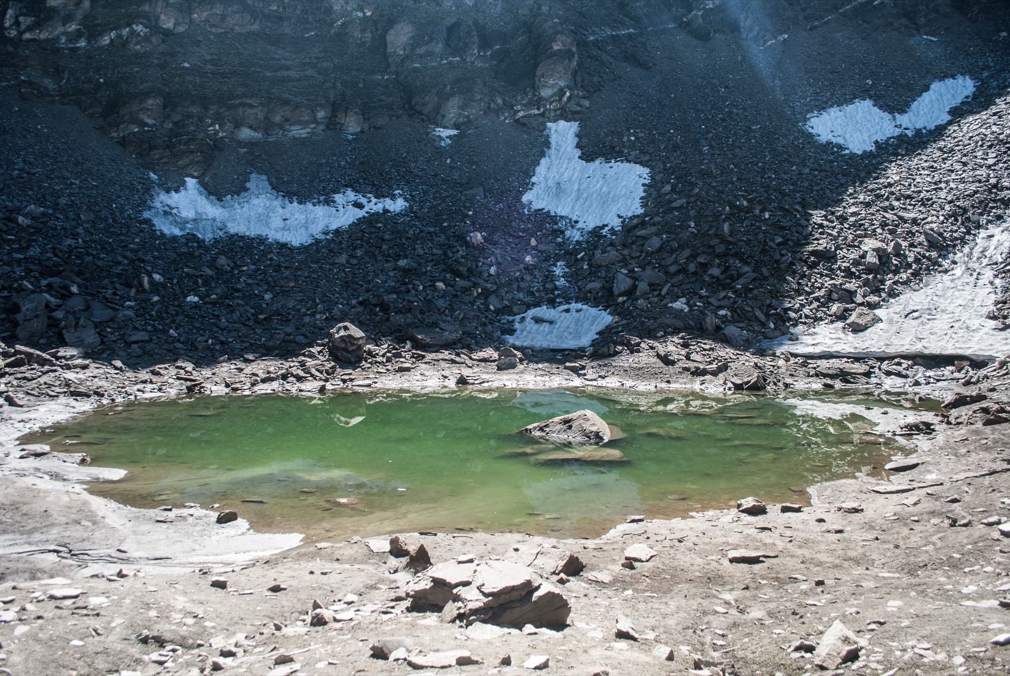
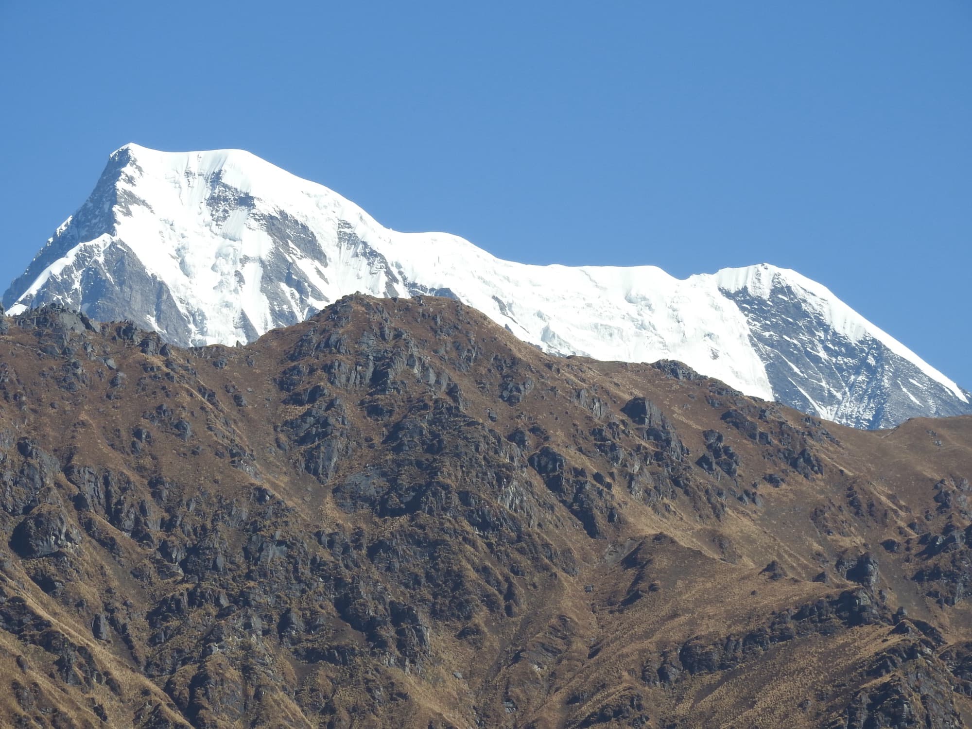
Ali Bugyal and Bedni Bugyal are linked high meadows on the ridges above Wan and Didna. Bedni, at around 3,400–3,550 m, is often called one of the largest and most beautiful alpine meadows in Asia. The trek climbs through oak and rhododendron forest onto Ali Bugyal, follows the rolling grassland over Bedni Top, and drops to Bedni Kund — a small sacred lake with shrines to Nanda Devi and Latu. Trishul and Nanda Ghunti feel close enough to touch, with Chaukhamba rising to the north.
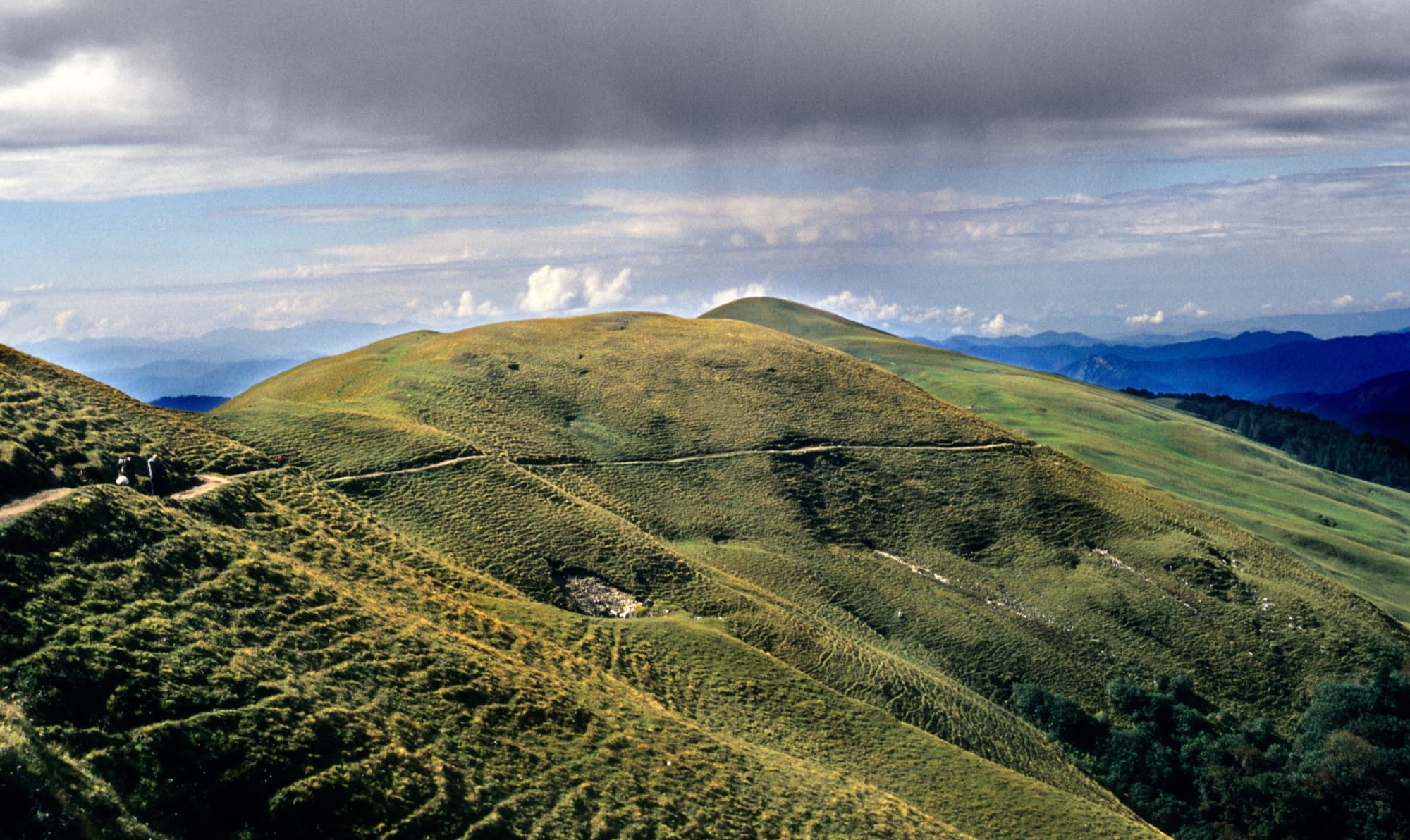
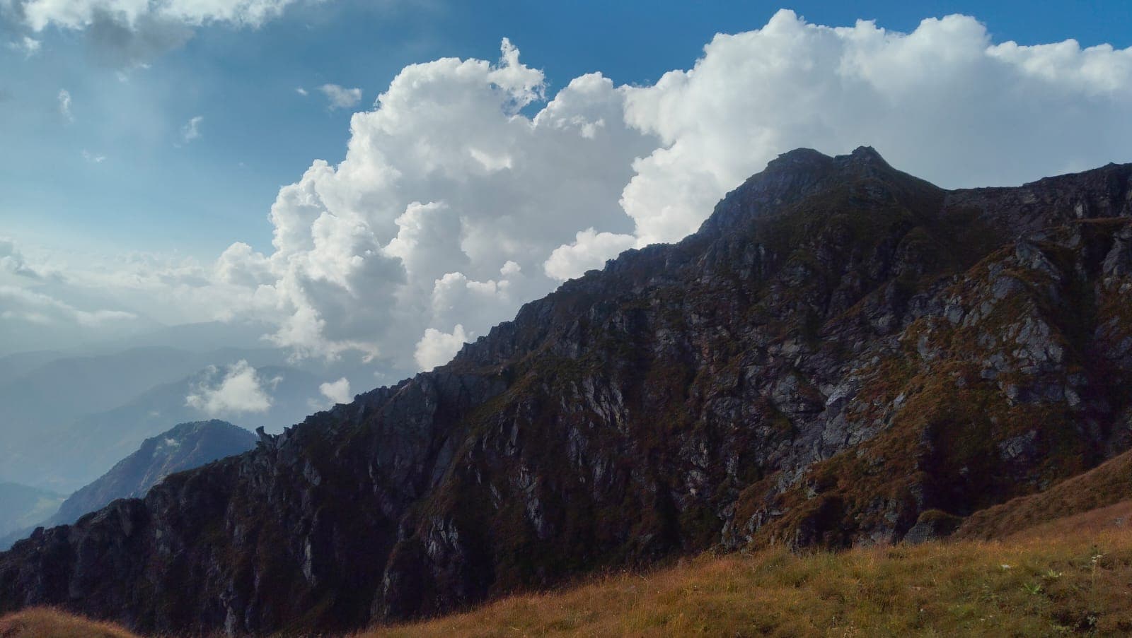
It follows the lower half of the Roopkund route without the high, rocky final climb, which makes it a good choice for families, first-time trekkers and anyone who would rather have meadows than altitude. The grass is green in early summer and turns gold in autumn. Grazing herds and shepherds’ huts (kharaks) are a reminder that these pastures are part of village life here.
Highlights
- Ali and Bedni Bugyal — vast, rolling high-altitude meadows
- Bedni Kund and its Nanda Devi and Latu temples
- Close views of Trishul and Nanda Ghunti; Chaukhamba and Neelkanth from the tops
- Oak, rhododendron and fir forest around Didna and Ghairoli Patal
- Shepherd kharaks, Didna village and the Neel Ganga crossing
- A lower-altitude alternative to Roopkund that suits beginners
Photos from the route
A typical itinerary
This is the usual shape of the route. We adjust days, campsites and pace to the season, the group and conditions on the ground.
- Day 1
Drive to Lohajung (~2,330 m)
By road from Kathgodam or Rishikesh. Overnight in Lohajung.
- Day 2
Lohajung to Didna (~2,500 m)
Down to the Neel Ganga bridge and up through forest to the village. About 7 km.
- Day 3
Didna to Ali Bugyal (~3,350 m)
Up through oak forest and out onto the meadows. About 6–7 km.
- Day 4
Over Bedni Top (~3,800 m) to Bedni Bugyal
Along the ridge to Bedni Kund, then camp on the meadow or lower at Ghairoli Patal. About 7–9 km.
- Day 5
Down to Wan, drive to Lohajung
A forest descent to Wan village and the road. About 6–7 km.
- Day 6
Drive back
Return to Kathgodam or Rishikesh.
When to go
May – June
Early summer
Green meadows and the first wildflowers. Pleasant days; afternoon cloud is common.
Sept – Nov
Autumn
The best views, golden grass and Trishul reflected in Bedni Kund. Cold nights; early snow possible in November.
Jul – Aug
Monsoon
Not recommended. Heavy rain, landslides on the mountain roads and poor visibility.
Dec – Mar
Winter
The meadows lie under snow. A short snow walk to Ali Bugyal is sometimes possible, depending on conditions.
A meadow on the goddess’s road
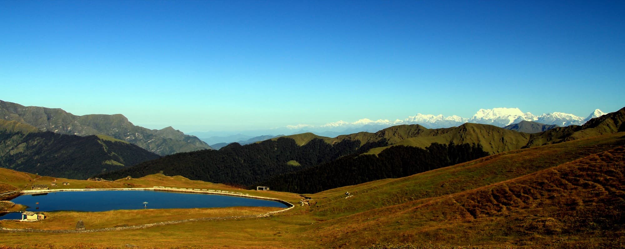
Bedni Kund, also called Vaitarani, has an old temple to Nanda Devi and a shrine to her brother Latu. The yearly Nanda Jat procession ends here, and the 12-yearly Nanda Devi Raj Jat passes through on its way over Roopkund to Homkund.
Before you go
- A Forest Department permit (Badrinath Forest Division) is required. We arrange it with the range office — carry a government photo ID.
- In July 2026 the Supreme Court set aside the 2018 High Court ban on overnight camping in Uttarakhand's bugyals (high meadows), per trekking operators citing the order and a Badrinath Forest Division circular. The other protections still apply: no permanent structures, no commercial grazing, and all waste carried out. We confirm the current forest rules before every departure.
- Bedni Kund is sacred — people offer pinda to their ancestors here. Please don’t bathe in or wash at the lake, and keep noise down on the meadows.
- Basic fitness is enough: comfortably jogging 4–5 km. The route stays below about 3,800 m, but we still ascend gradually to avoid altitude sickness.
Sources
Photo credits
- The green slopes of Bedni Bugyal below a rugged ridge — Shaswat Nimesh, CC BY-SA 4.0, via Wikimedia Commons
- Bedni Kund on the autumn meadow, with snow peaks on the horizon — Abhijith Shastry, CC BY 2.0, via Wikimedia Commons
- The trail across rolling grassland from Bedni Bugyal towards Ali Bugyal — Biswajit Majumdar, CC BY-SA 3.0, via Wikimedia Commons
The Himalayas, beyond the usual route.
Tell us where you’d like to go. We’ll help with the rest.